Description
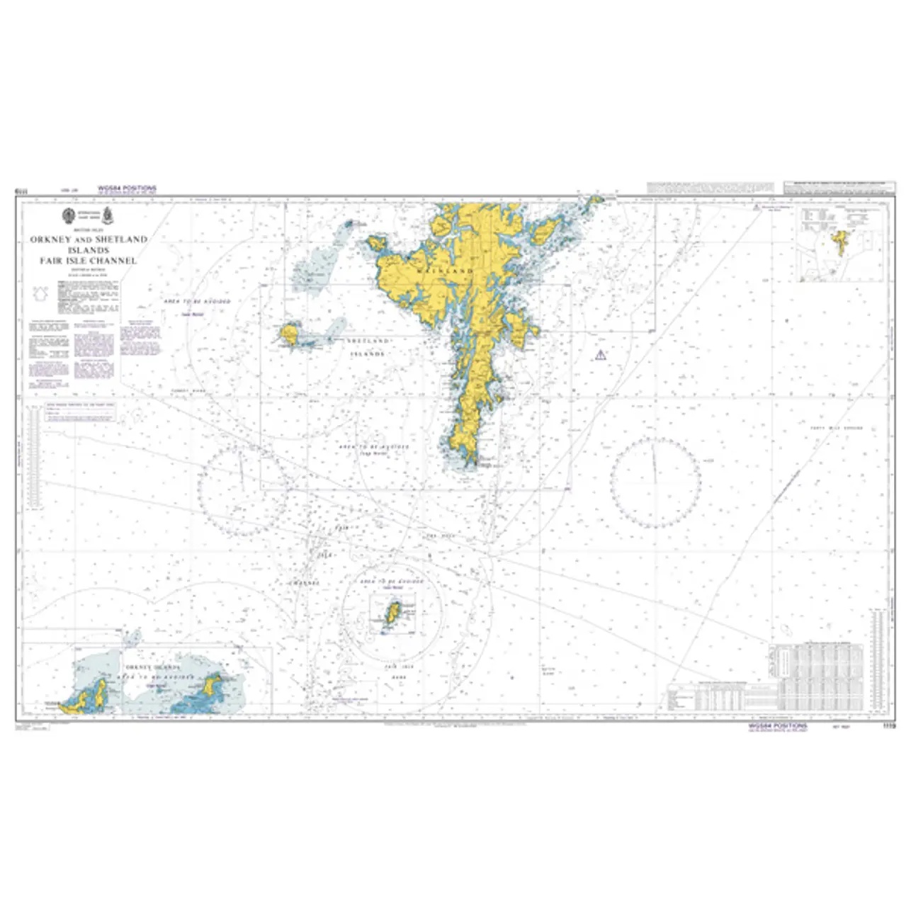
British Admiralty Chart 1119 is an overview and passage chart covering Orkney and Shetland and surrounding waters. The chart provides an overall picture of the archipelagos, main routes, traffic patterns and major navigation conditions, and is particularly suitable for planning voyages between Orkney, Shetland and adjacent waters in the North Atlantic and North Sea.
The chart is often used as the primary planning chart for longer crossings, combined with more detailed coastal and harbor charts at ports of call. It provides a good overview of distances, courses and strategic route choices in the area, and is relevant for both leisure sailors and professional traffic.
British Admiralty charts are official nautical charts renowned for their high cartographic quality and international use in both professional and leisure navigation.