Description
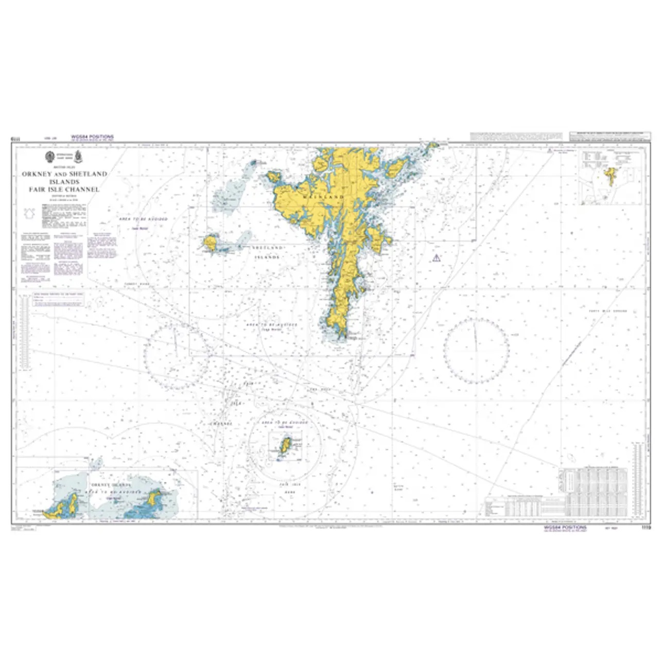
This British Admiralty chart covers the Orkney and Shetland Islands and adjacent waters north of Scotland. The chart provides a comprehensive regional overview of the archipelagos and the links between them, and is designed for operational navigation in waters characterized by strong currents, rough seas and heavy commercial and fishing traffic.
The chart shows coastline, fairways, depths, navigational aids and important sea areas in a format that is well suited to regional route planning and sailing between islands. It serves as an overall operational chart and is often used in combination with more detailed coastal and harbor charts for port calls and coastal navigation.
This chart is suitable for professional navigators and experienced sailors who need a reliable and up-to-date chart for safe sailing in the area around Orkney and Shetland.