Description
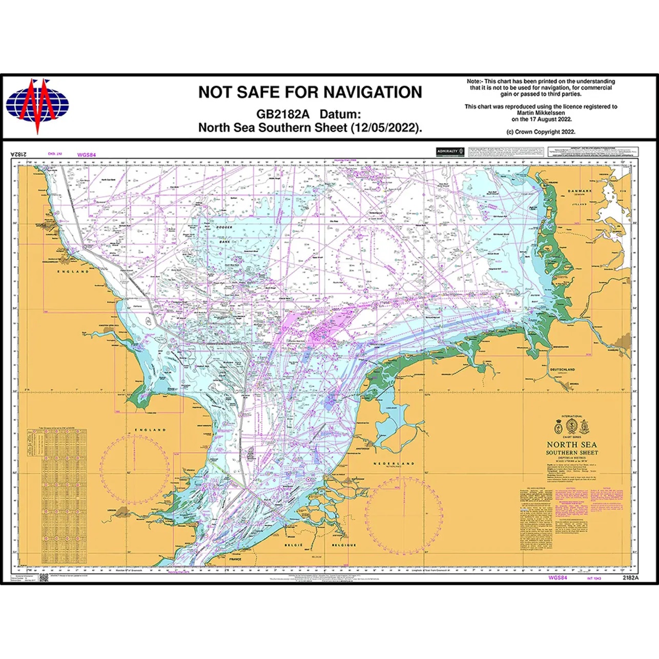
This British Admiralty chart covers the southern North Sea and is designed for operational navigation in a highly trafficked and regulated sea area. The chart includes important approaches, traffic separation zones, shallow areas, pipelines and extensive offshore activity along the coasts of the UK, the Netherlands, Belgium and northern France.
The chart is designed for professional navigation and provides detailed information on depths, navigational aids, regulated fairways and seabed conditions. It is particularly suitable for commercial ships, offshore vessels and other maritime operators operating in the southern part of the North Sea.
This chart serves as a key operational chart for safe sailing in one of Europe’s most complex and busy waters, and is normally used in conjunction with other sheets in the BA 2182 series.