Description
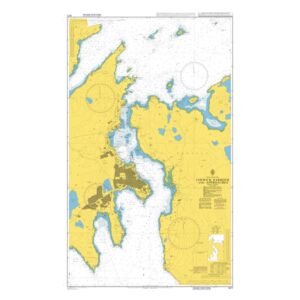
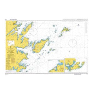
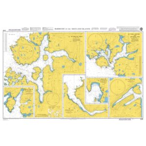
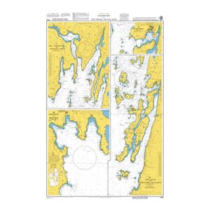
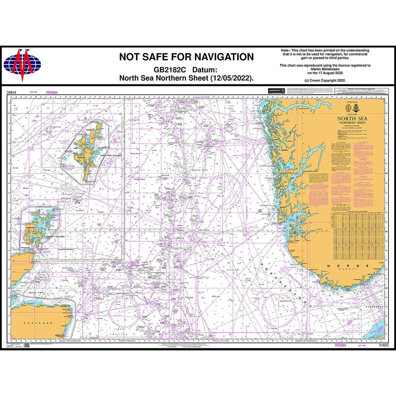
British Admiralty Chart 2182C is an official chart published by the UK Hydrographic Office and covers the northern part of the North Sea. The chart has been developed for planning and navigation in a weather-prone and busy sea area used by both commercial shipping and experienced leisure sailors.
The chart provides an overall navigational basis for sailing between the Norwegian coast, Shetland/Orkneys and surrounding areas in the northern North Sea. It shows depth conditions, banks and seabed shapes, selected routes and navigational references, as well as other information relevant to route selection and safe navigation in open waters. As part of the British Admiralty series, the chart is produced to established international standards and is widely used in professional maritime operations.
The chart is printed on durable paper and continuously updated through Admiralty Notices to Mariners, ensuring high quality and reliability for users who rely on official nautical charts.