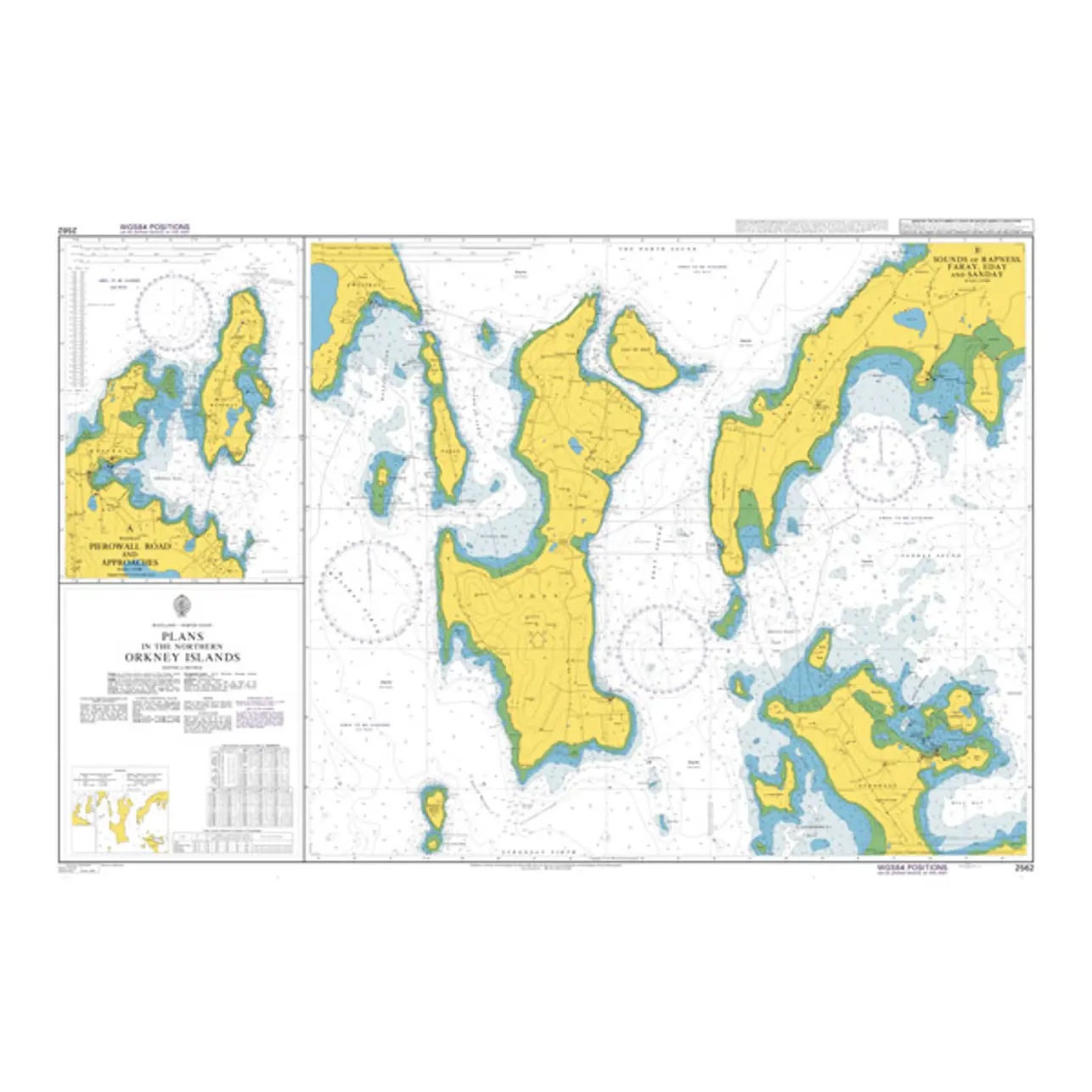
British Admiralty Chart 2562 – Plans in the Northern Orkney Islands

Official British Admiralty nautical chart with detailed plans for navigation and port operations in the northern Orkney Islands.

Delivery is made in cooperation with StormGeo UK, official distributor of Admiralty maps. If the map is not in stock in Norway, it will be sent separately by DHL Express from the UK. Normal delivery time is 2-4 working days to most addresses in Norway. If delivery time is critical, please contact us and we will try to arrange the fastest possible delivery directly to the ship or port.

95,08 

British Admiralty

    Description

    This British Admiralty chart consists of detailed plans of selected harbors, anchorages and approaches in the northern parts of Orkney. The chart provides precise information on coastline, depths, navigation marks and local details that are essential for safe maneuvering in narrow and rough waters.

    The chart is particularly well suited for entry, port operations and local navigation in the North Orkney Islands. Developed for professional navigators, it provides a reliable and detailed chart basis for safe navigation in an area with complex tidal conditions and varying topography.