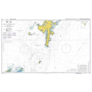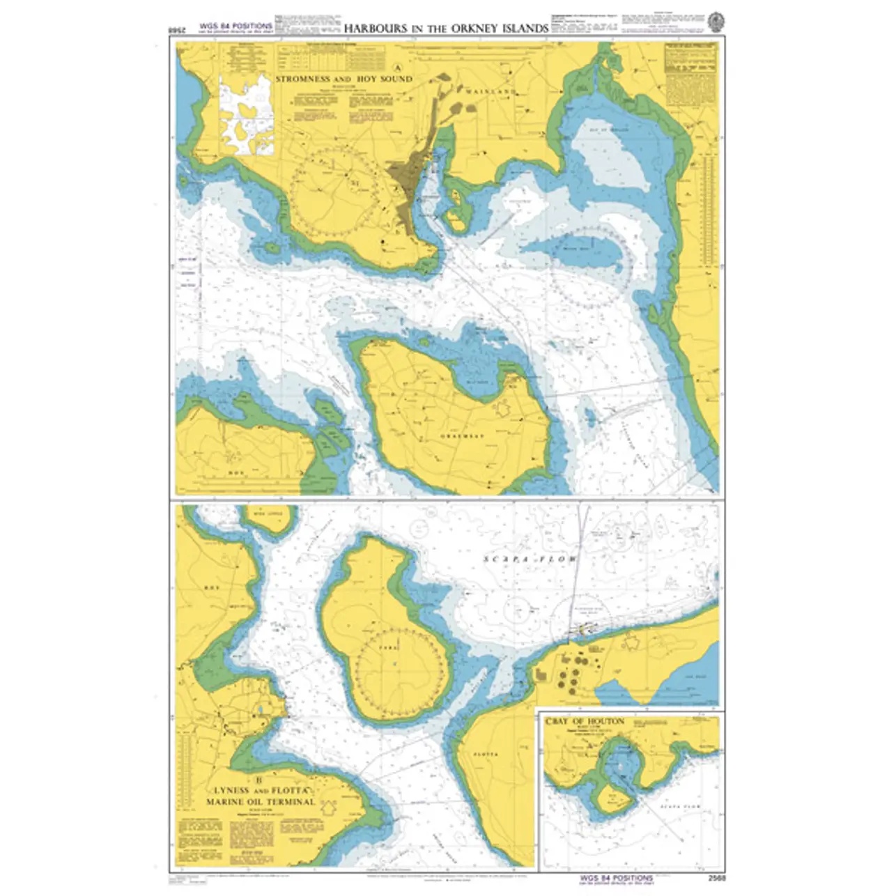
Description
This British Admiralty chart covers selected ports, anchorages and approaches in the Orkney Islands north of Scotland. The chart contains detailed sections of key harbors and sounds, including Stromness, Hoy Sound and adjacent waters, and is designed for accurate and safe navigation in coastal and complex areas.
The chart provides detailed information on depths, seabed conditions, navigational aids, currents and local restrictions. It is particularly well suited for vessels calling at Orkney, whether in commercial traffic, fishing or leisure sailing, and serves as a central operational chart for port maneuvering and coastal navigation.
This map is suitable for professional navigators and experienced sailors who need an up-to-date and detailed harbor chart for safe sailing in Orkney.