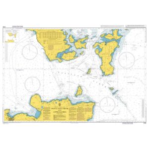
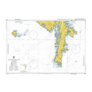
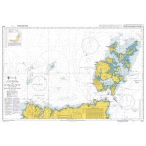
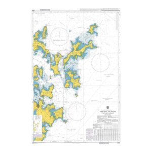
Description
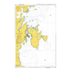
British Admiralty Chart 3272 covers the coastline from the Moul of Eswick to Helli Ness in Shetland. The chart shows detailed depth indications, reefs, beacons and fairways necessary for safe navigation along this part of the archipelago.
The area consists of open coast, islands and shallow waters, and the chart is well suited for coastal navigation, port calls and sailing in demanding waters with rapidly changing weather and current conditions. The chart is used by both leisure and professional vessels operating along the Shetland coast.
British Admiralty charts are official nautical charts known for their high cartographic quality and reliability, and are used internationally for both private and professional navigation.