Description
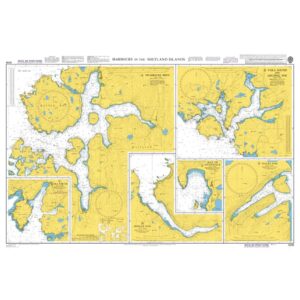
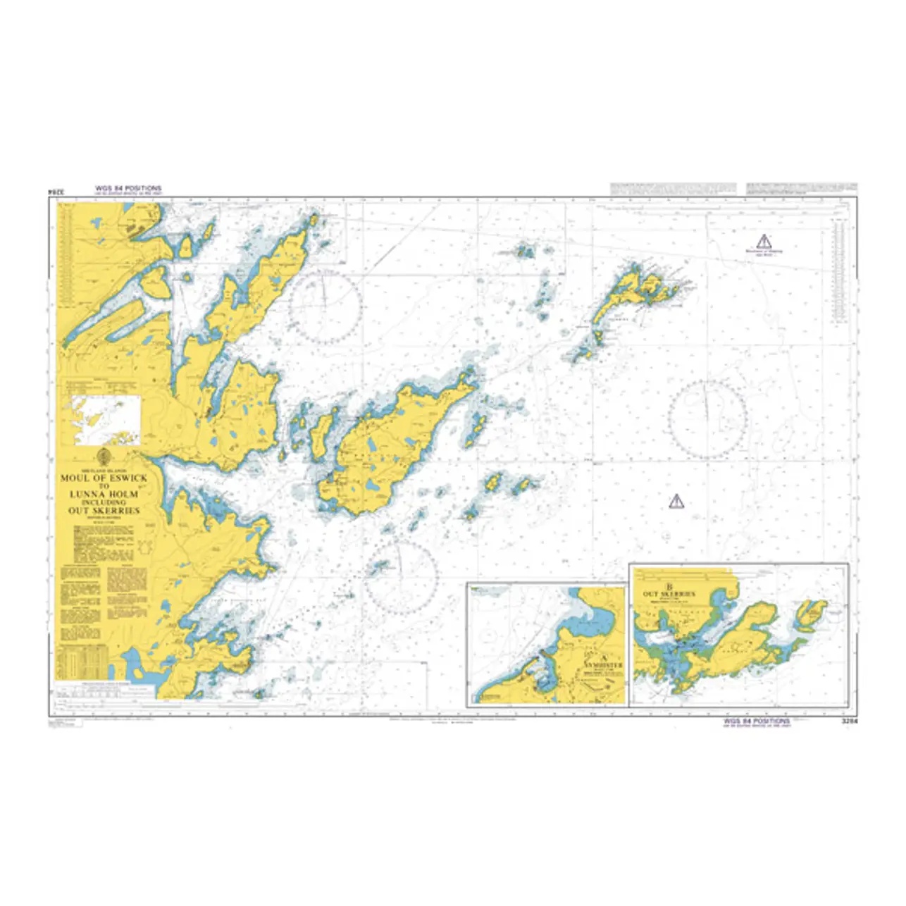
British Admiralty Chart 3284 covers the coastal and island areas from the Moul of Eswick to Lunna Holm in Shetland. The chart shows detailed depth indications, beacons, fairways and navigational information necessary for safe navigation in these complex waters with many reefs and shoals.
The area is characterized by narrow straits, exposed coastlines and open seas, and the chart is suitable both for coastal navigation and for planning voyages along the northern parts of Shetland. The chart is used by both leisure boats and professional vessels operating in the region.
British Admiralty charts are official nautical charts known for their high cartographic quality and reliability, and are used internationally by navigators for both private and professional use.