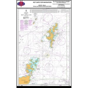
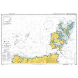
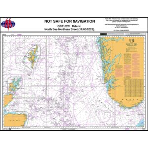
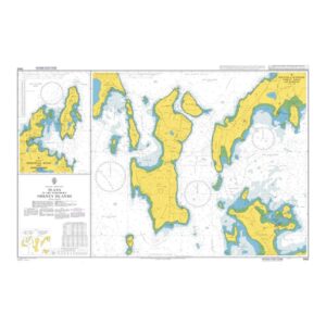
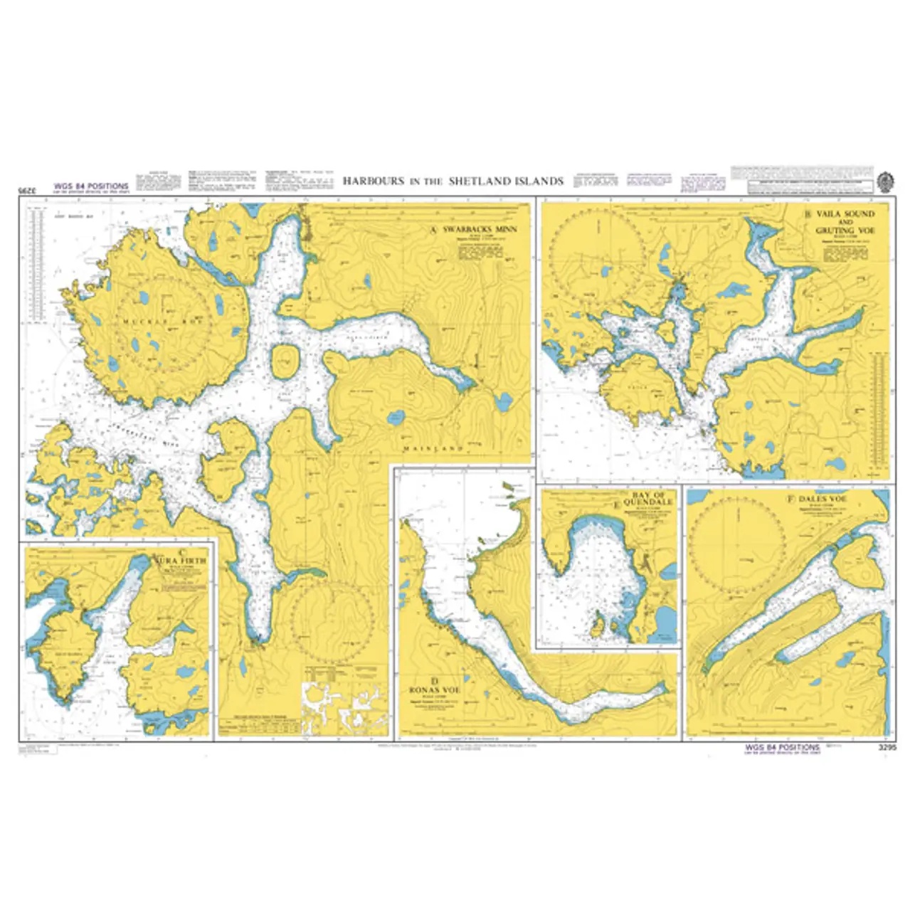
British Admiralty Chart 3295 – Harbors in the Shetland Islands

Official British Admiralty nautical chart with detailed harbor and approach charts for the Shetland Islands.

Delivery is made in cooperation with StormGeo UK, official distributor of Admiralty maps. If the map is not in stock in Norway, it will be sent separately by DHL Express from the UK. Normal delivery time is 2-4 working days to most addresses in Norway. If delivery time is critical, please contact us and we will try to arrange the fastest possible delivery directly to the ship or port.

96,89 

British Admiralty

    Description

    This British Admiralty nautical chart consists of detailed harbor and approach charts for selected harbors and inlets in the Shetland Islands north of Scotland. The chart is made up of several inserts that provide precise information on depths, shoals, navigation marks, anchorage areas and local obstructions.

    The chart is particularly suitable for port approaches, berthing and maneuvering in the narrow and rough waters around Shetland. Developed for professional navigators, it provides a reliable chart basis for safe operations in and around the ports of the archipelago.