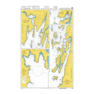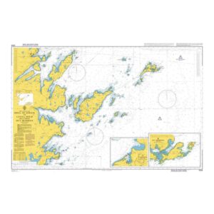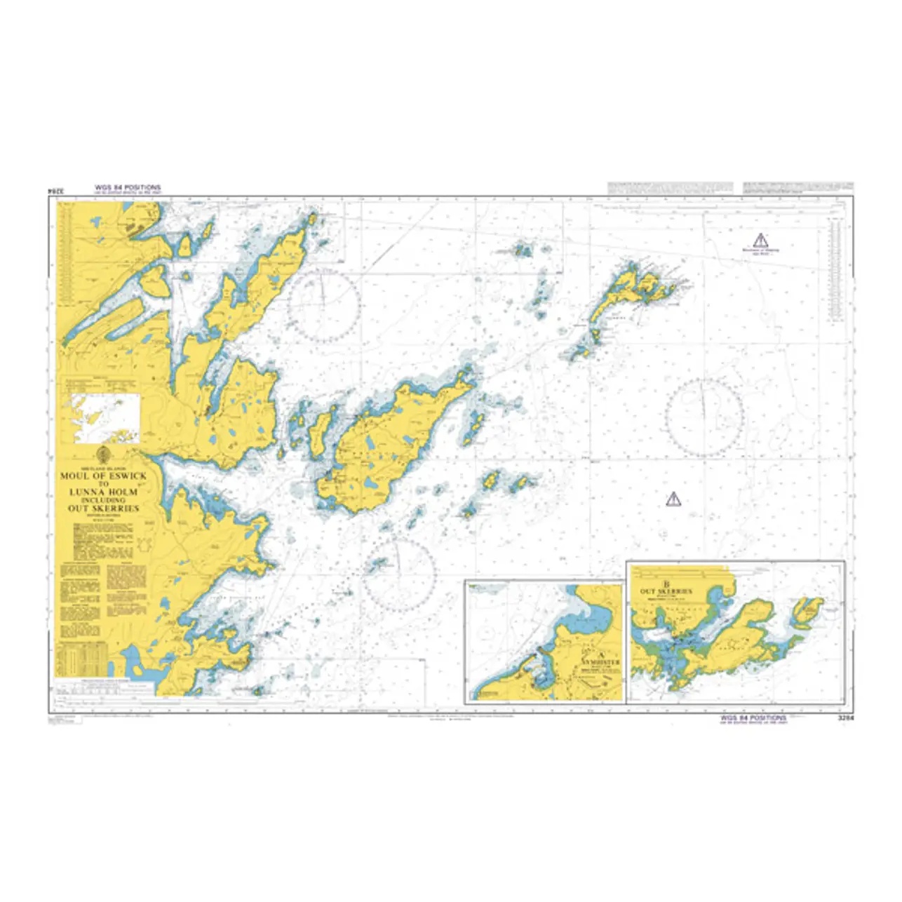
Description
This British Admiralty chart covers the coastal and archipelago area from the Moul of Eswick to Lunna Holm on the northeast side of the Shetland Islands. The chart shows complex waters with islands, reefs, shoals and narrow straits, as well as detailed depth indications and navigation marks that are essential for safe navigation in the area.
The chart is well suited to coastal navigation and inter-island sailing in the Shetland area, providing an accurate chart basis for both transit and local traffic. Developed for professional navigators, it provides reliable support for planning and executing voyages in weather-affected and challenging waters.