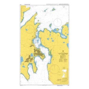
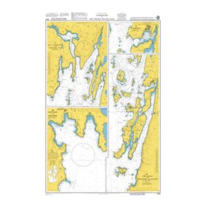
Description
This British Admiralty nautical chart contains detailed harbor and approach charts for selected harbors and inlets along the Mainland of the Shetland Islands. The chart consists of multiple insets that provide precise information on depths, shoals, navigation marks, anchorage areas and local obstructions in a complex and weather-prone coastal environment.
The chart is particularly suitable for port entry, berthing and maneuvering in narrow and coastal waters around the Shetland mainland. Developed for professional navigators, it provides a reliable chart basis for safe operations in ports and adjacent sea areas.