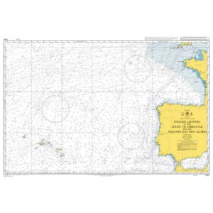
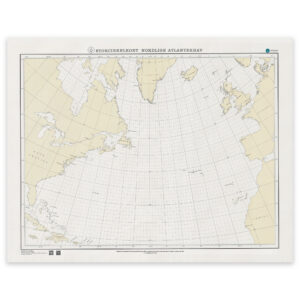
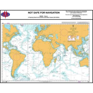
Description
This British Admiralty planning chart covers the Atlantic and Indian Oceans and shows the major connections between Europe, Africa, America, Asia and Australia. The map provides a comprehensive overview of two of the world’s most important ocean areas for international long-distance sailing and global shipping.
The chart is designed for strategic route and sailing planning and is primarily used in preparatory navigation work. It provides an overview of main sailing routes, large geographical structures and distances on a global scale, but is not intended for operational navigation or detailed use near coasts and ports.
This chart is suitable for professional navigators, long-distance sailors and maritime operators who need an overall planning chart covering both the Atlantic and Indian Oceans, either as a supplement to operational nautical charts or as a reference in teaching and navigation preparation.