Description
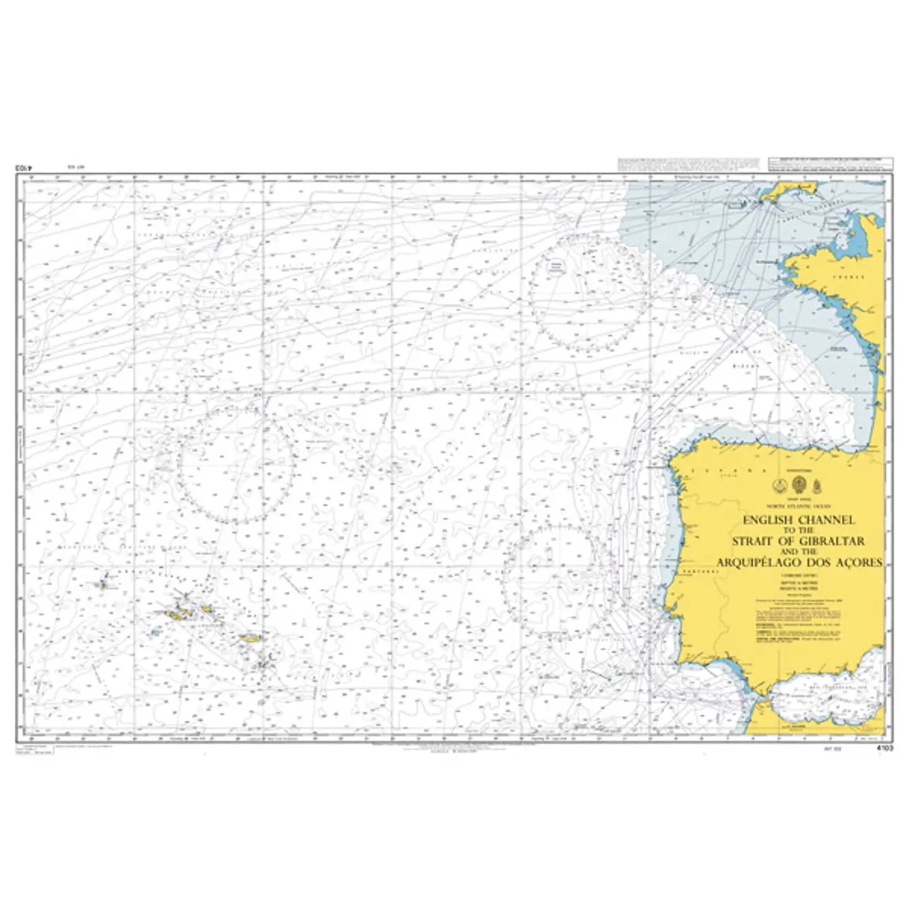
This overview chart from the British Admiralty covers the main sailing routes from the English Channel, along the Atlantic coast of Europe and on to the Straits of Gibraltar, with connections to the Azores. The chart provides an overall geographical picture of a key sea area for long-distance sailing between Northern Europe, the Mediterranean and the Atlantic.
The chart is designed for route planning and overall navigational understanding, and is particularly suitable for strategic sailing planning, teaching and reference use. It provides an overview of the main fairways, depth conditions in rough section and relevant geographical contexts, but is not intended for detailed coastal navigation.
This chart is suitable for sailors, professional navigators and maritime operators who need a comprehensive planning chart of a large ocean area, either as a supplement to operational charts or for use in preparatory navigation work.