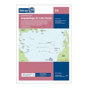
Description
This overview chart from Imray covers the Cape Verde archipelago and has been developed especially for long-distance sailors and leisure boats operating in the North Atlantic. The chart gives a good overall picture of the archipelago and its location in relation to important sailing routes between Europe, Africa and the Caribbean.
Imray charts are renowned for their maritime legibility, balancing overview and detail in a way that makes them highly suitable for planning longer voyages, calling at new destinations and navigating open seas. This chart includes clear coastline, navigational information and strategically placed references that are useful both during route planning and on board.
The chart is printed on durable, water-resistant paper and is suitable both as a working chart in the cockpit and as an overview chart when planning in port. A natural choice for sailors who have Cape Verde as their destination, stopover or reference point on ocean crossings in the Atlantic.