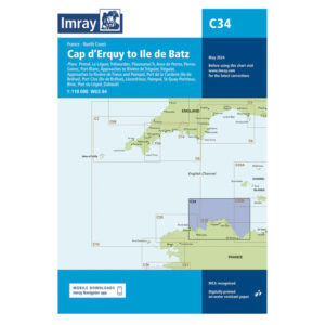
Description
This boating map covers the northern part of the Brittany coast from Cap d’Erquy in the east to Île de Batz in the west. The map includes detailed plans and approaches to a number of important ports and coastal areas, including Paimpol, Légué, Tréguier, Ploumanac’h, Anse de Portsall, Perros-Guirec, Port-Blanc, Roscoff and the area around Île de Batz.
The chart is ideal for leisure boats and sailboats navigating the north coast of Brittany, either as part of coastal cruising or when planning longer legs in the English Channel. Known for its large tidal differences, strong currents and complex waters with reefs and shoals, the chart provides a good basis for safe route planning and navigation.
Imray is a recognized British manufacturer of nautical charts for leisure and long-distance sailing. The charts are developed with a focus on good readability, practical use and clear presentation of navigation-relevant information.