Description
NV Charts France FR6 Lorient-Île de Noirmoutier & Nantes is a complete chart package of paper and digital charts covering the French Atlantic coast between Lorient and Île de Noirmoutier, including the waters off Nantes. The charts provide detailed navigational information on coastal waters, approaches, harbors, tides, sailing routes and anchorages in these varied waters along the west coast of France.
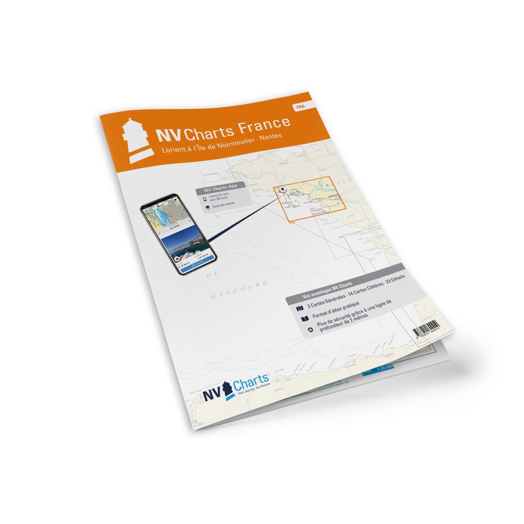
The chart set comes in atlas format with clear and concise cartography, combined with digital access via the NV Charts app and PC/Mac. The digital charts can be used offline, so you have access to up-to-date navigation data both when planning at home and when sailing at sea.
Features
Highly detailed, atlas-sized paper charts with good overview.
Digital access via the NV Charts app with offline use on multiple devices.
Detailed navigation information for coastal waters, inlets, tides and harbors from Lorient to Nantes.
Includes shipping lanes and anchorages for bays, straits and coastlines along the route.
Map overview
The chart set covers the waters from Lorient and southwestern Brittany, along the French Atlantic coast past areas such as La Rochelle and Oléron, on towards Île de Noirmoutier and into Nantes through the Loire River. The charts provide good support for both coastal sailing and longer crossings in this area.
Updates
Always delivered in the latest available edition from NV Charts. If a new and updated edition is launched within 30 days of purchase, the map can be exchanged for a new edition free of charge.
EAN / ISBN
9783910644410