Description
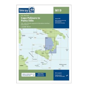
Covering the coastline from Capo Palinuro to Punta Stilo, this overview chart from Imray provides a good regional overview of sailing areas in southern Italy. It covers both the Tyrrhenian and Ionian sides of the Italian boot and includes plan views and approaches to the Golfo di Policastro, Vibo Valentia, Isole Eolie, Stretto di Messina and adjacent waters.
Designed for passage and route planning, the map serves as a useful link between the west and east coasts of southern Italy. It is an ideal complement to more detailed coastal and harbor charts for sailors planning longer legs in the region.
Printed on water-resistant paper and produced to MCA-approved standards, with support for digital updates via the Imray Navigator app.