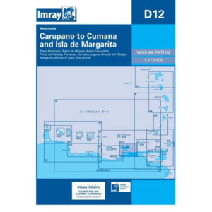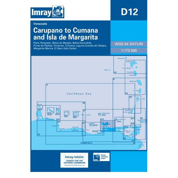
Description
This boating chart covers the coastline from Carúpano to Cumaná and Isla de Margarita along the north coast of Venezuela in the Caribbean. The chart is designed for recreational boat and sailboat navigation in an area that combines open coast, islands and varying depths.
The map provides an overview of coastlines, islands and surrounding sea areas, and is well suited for route planning and overview navigation. It is often used as a general chart in combination with more detailed harbor and coastal charts, and provides a good basis for safe sailing between the mainland and Isla de Margarita as well as along the east-west coast.
Imray is a renowned British chart manufacturer with extensive experience in nautical charts and publications for leisure boats. Designed for practical use on board, their charts combine clear cartography with reliable nautical information for sailors and powerboaters.