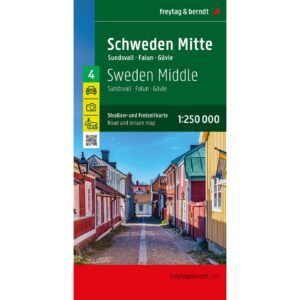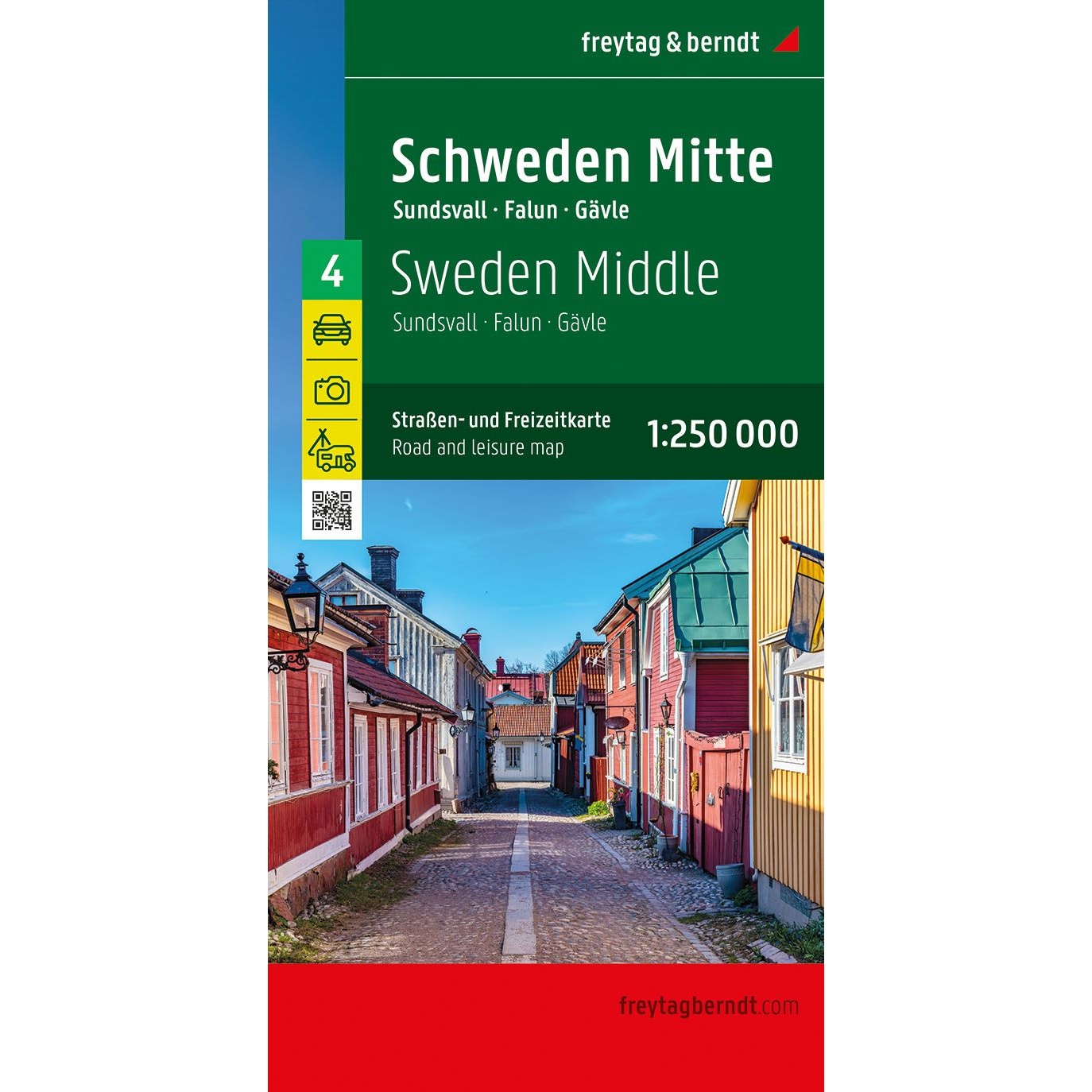
Description
This is a detailed and clear road map of central Sweden, covering the areas around Sundsvall, Falun and Gävle. The map is designed for travelers by car, motorcycle, motorhome or caravan, and provides a good overview of both main roads and smaller regional roads in central Sweden.
The map image is clear and easy to read, with accurate representation of the road network, distances and important connections. Tourist attractions and excursion destinations are marked on the map, making it suitable for both route planning and practical use along the way. The map also contains a comprehensive place index with postcodes and an overview of camping and motorhome sites, which is particularly useful for travelers on longer trips.
The region offers great nature experiences, with rivers and lakes that are ideal for canoeing, as well as several national parks with good opportunities for hiking and outdoor activities. These include Töfsingdalen, Fulufjället and Hamra National Park, known for their untouched nature and varied landscapes. The map is delivered in large format and provides a good balance between level of detail and overview.
This road map is sheet 4 in the map series Sweden, which consists of five regional road maps covering the entire country. The map is printed in Austria and is of high cartographic quality.
The map is released in 2024.