
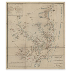

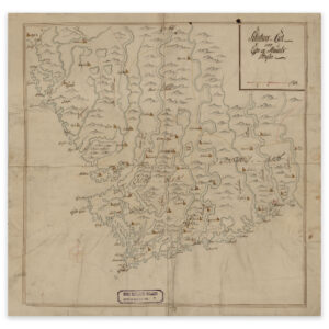
 Christiania 1816


Christiania 1816
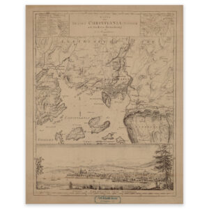
This map of Oslo (Christiania) from 1816 shows the area Bygdøy, Ekebergåsen, Majorstua and Hovedøya. The map comes in its original size of 41.7 x 52.6 cm. The size with frame and passe-partout is 59.7 x 71.6 cm. Would you like the map in a different size? Just get in touch – we’ll be happy to give you a quote for customization.