


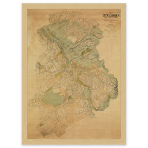
 City map Stavanger 1917
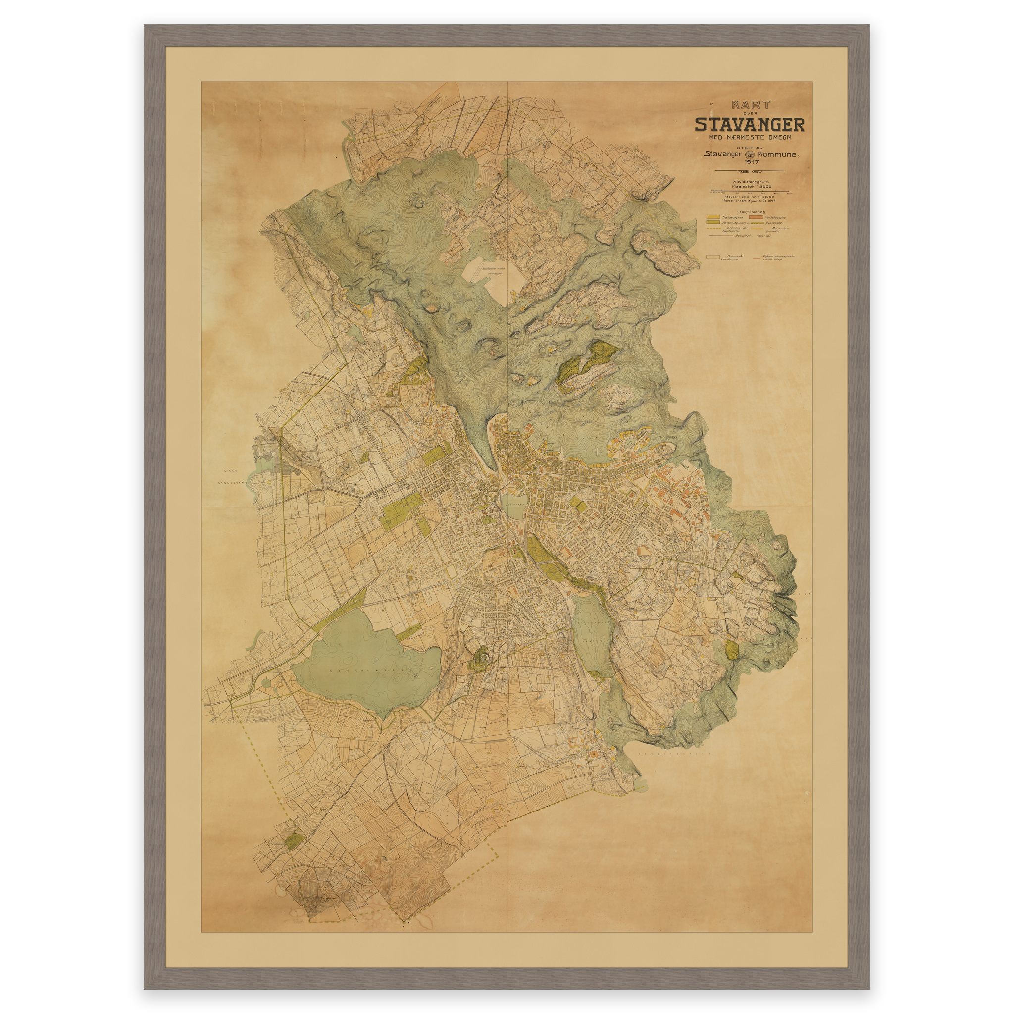
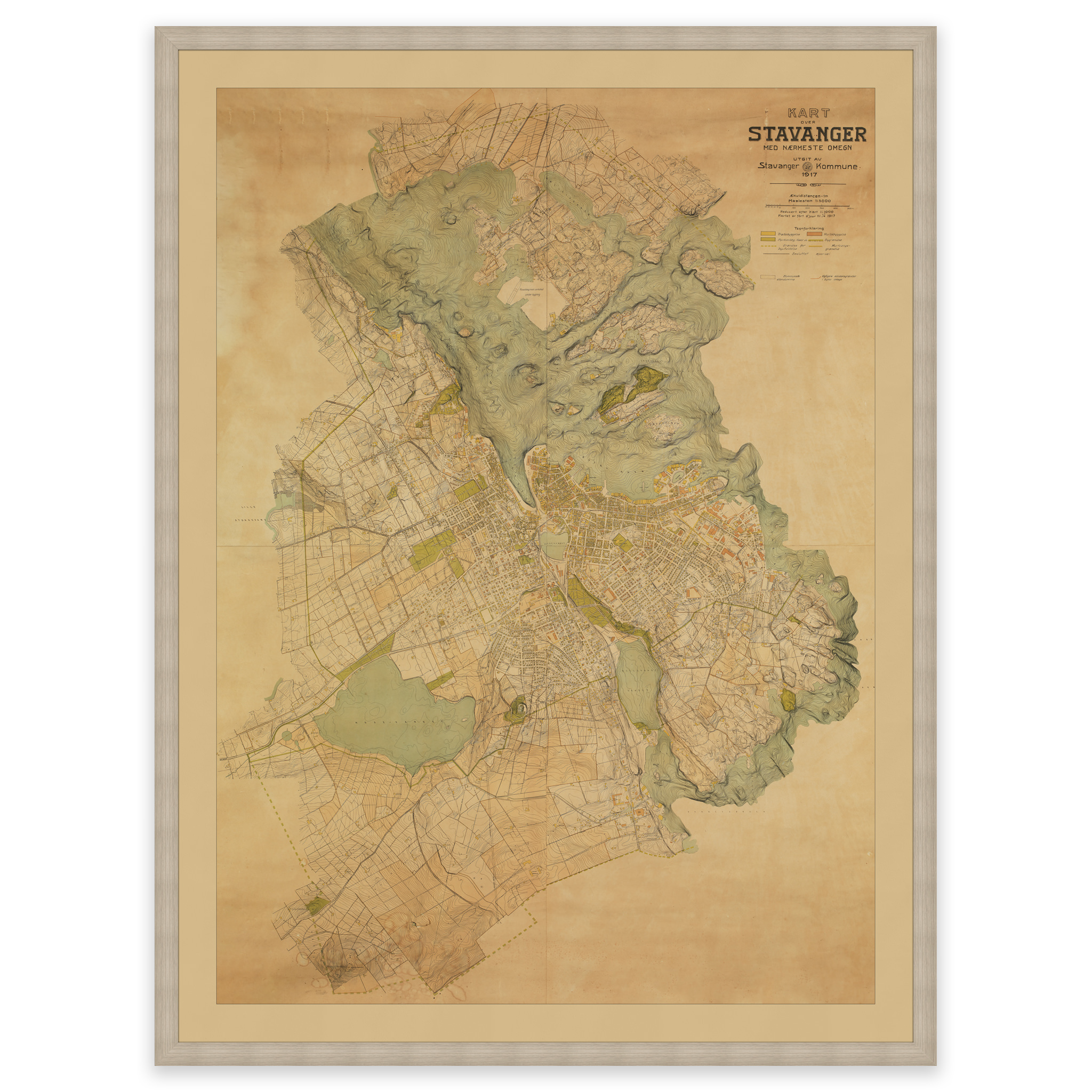
City map Stavanger 1917
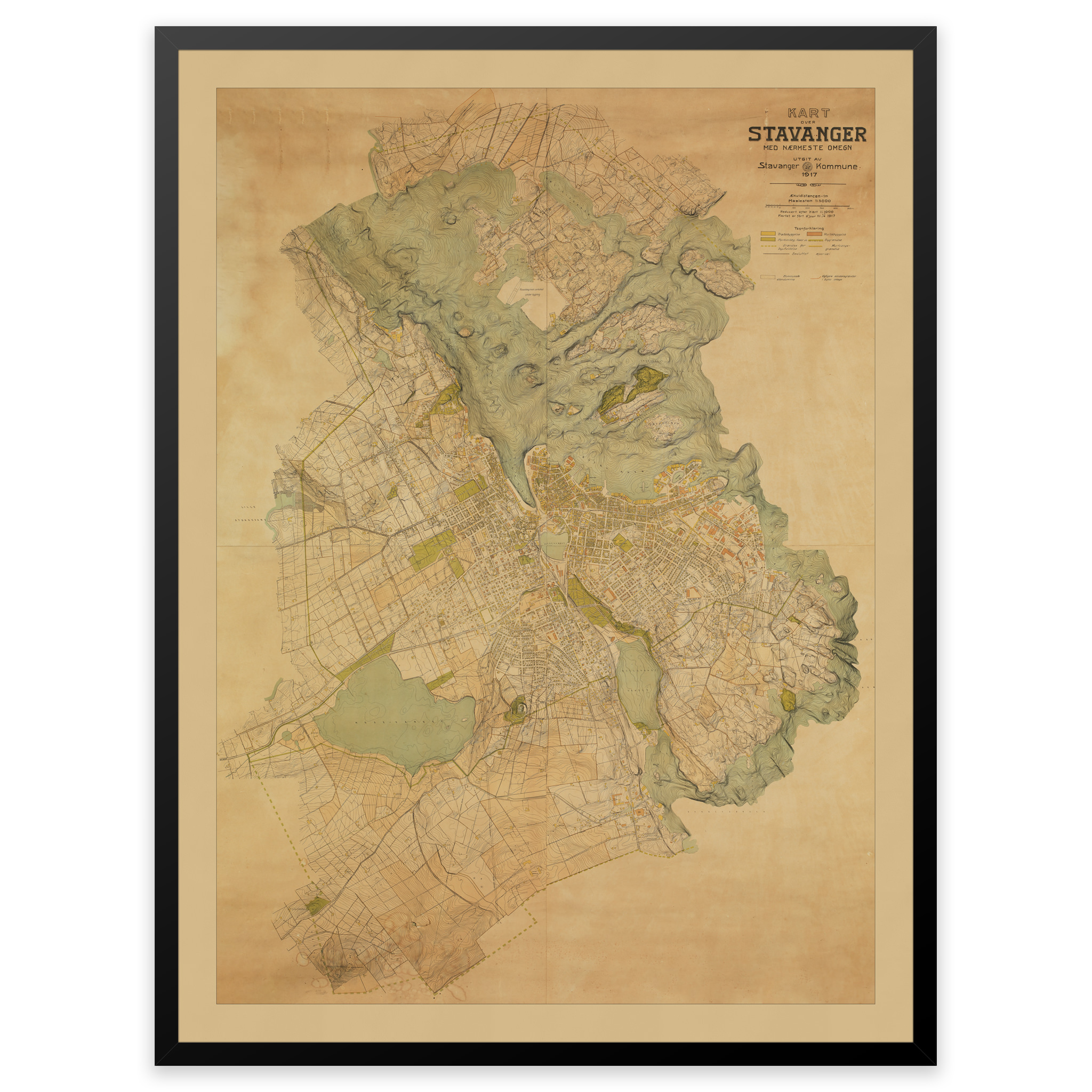
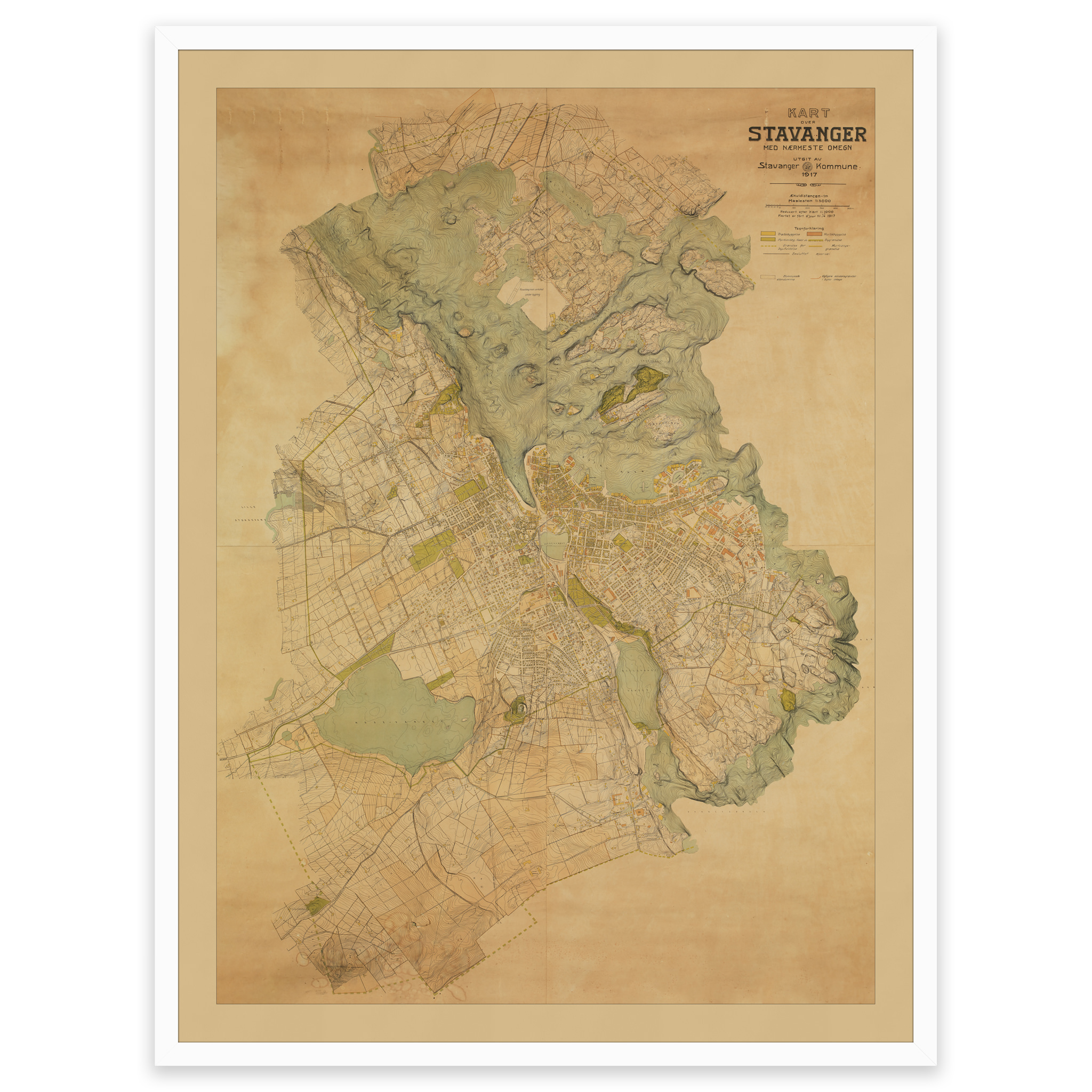
Unique hand-drawn city map of Stavanger and the surrounding area, published by Stavanger municipality in 1917. At this time, the municipality of Stavanger was planning to establish a tramway, and proposals for where the route should go are drawn in. With a scale of 1:5000, this is a very detailed map, with streets, street names and buildings. The original map has been lent by the owner and photographed in our repro studio with a digital medium format camera for a very lifelike and accurate reproduction. The map is delivered in the original size 105 x 141.81 cm. Do you want the map in a different size? Just get in touch – we’ll be happy to give you a quote for customization.