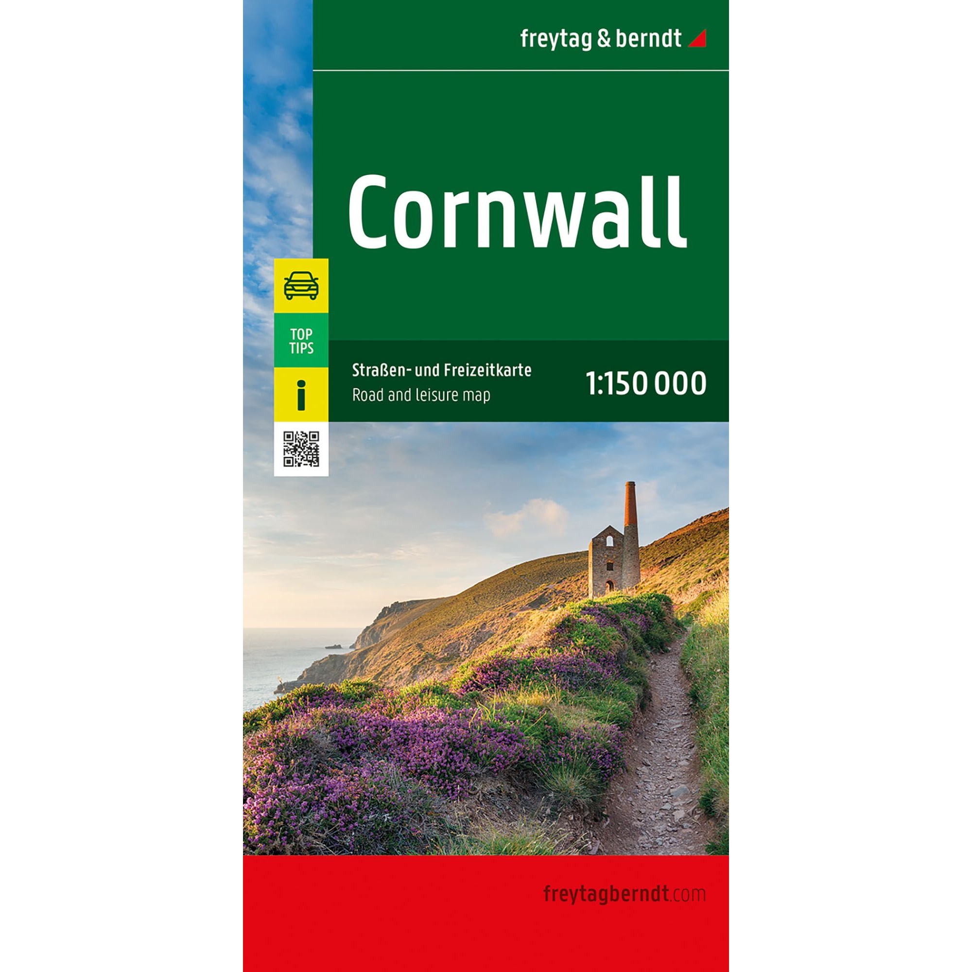
Description
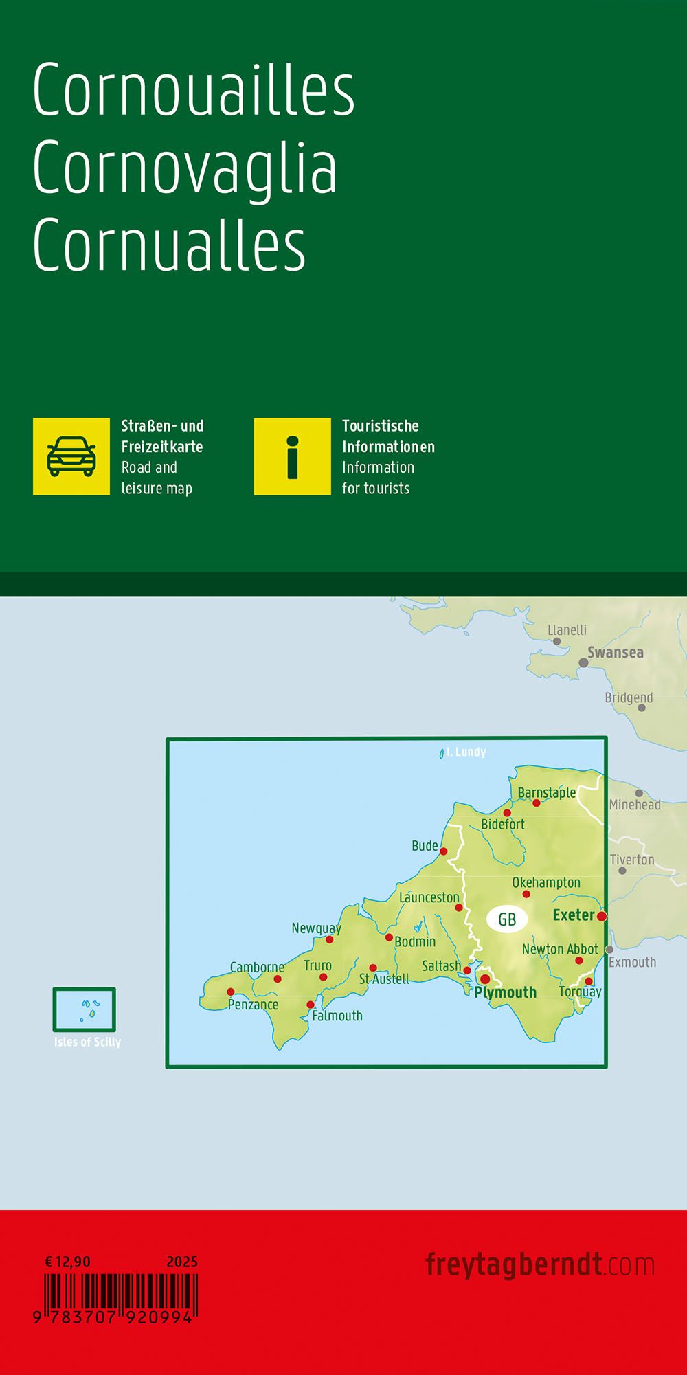
This road map of Cornwall provides a detailed and clear representation of the region in the south west of England, suitable for travel by car, motorcycle and motorhome. The map shows a precise and easy-to-read road network with clearly marked main and side roads, as well as key distances and destinations along the coast and inland. The cartography makes the map suitable both for route planning in advance of the trip and for practical orientation along the way. The map also contains useful tourist information, an overview of campsites and caravan parks, as well as a place index that makes it easy to find your way around. On the reverse side, selected attractions in Cornwall are presented with short descriptions in both German and English. The map is particularly suitable for holiday use in the coastal areas around Penzance, Newquay, Falmouth, Truro and St. Austell. Year of publication: 2025.