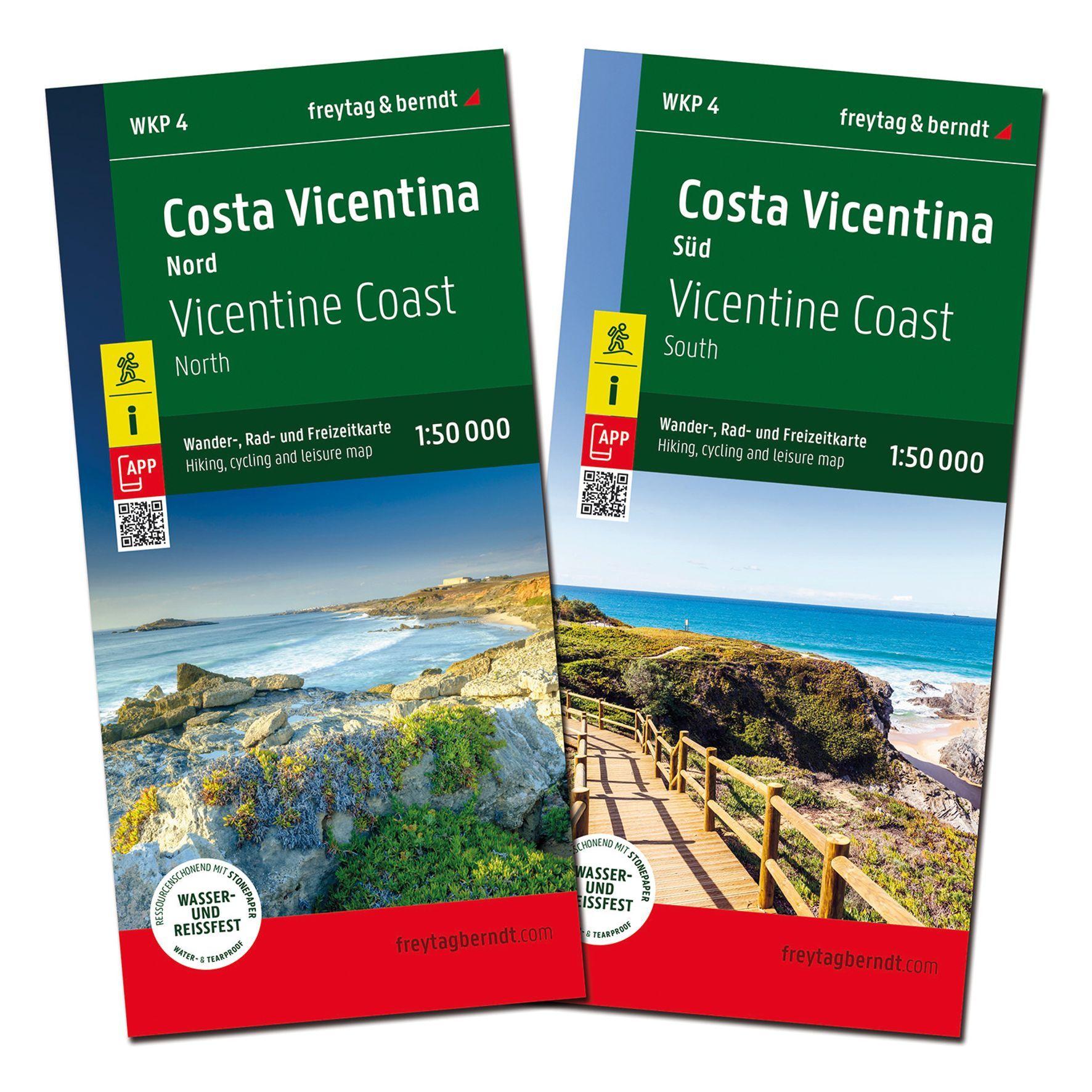
Description
Covering the Costa Vicentina along Portugal’s southwestern Atlantic coast, this detailed map set provides a great overview of the region known for its interconnected hiking routes and varied landscapes. The map shows the entire area around Rota Vicentina and makes it easy to plan and execute walks, whether you walk the entire route or explore selected stages.
The map set consists of two map sheets that together provide a comprehensive coverage of the area, making it practical for both planning and touring. It’s particularly useful for travelers who combine driving and walking, with an overview of the road network, access points and key locations along the coast. The clear cartography makes it easy to find your way around an area that stretches through both the Alentejo and the Algarve, from small villages to dramatic stretches of coastline.
Tourist information and important stops are integrated into the map image, and the accompanying information booklet provides further insight into routes and sights in the region. This makes the map set a useful tool for both overview planning and practical use along the way.
Release year: 2026.