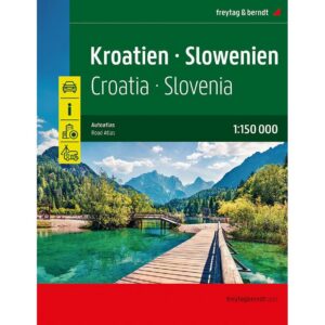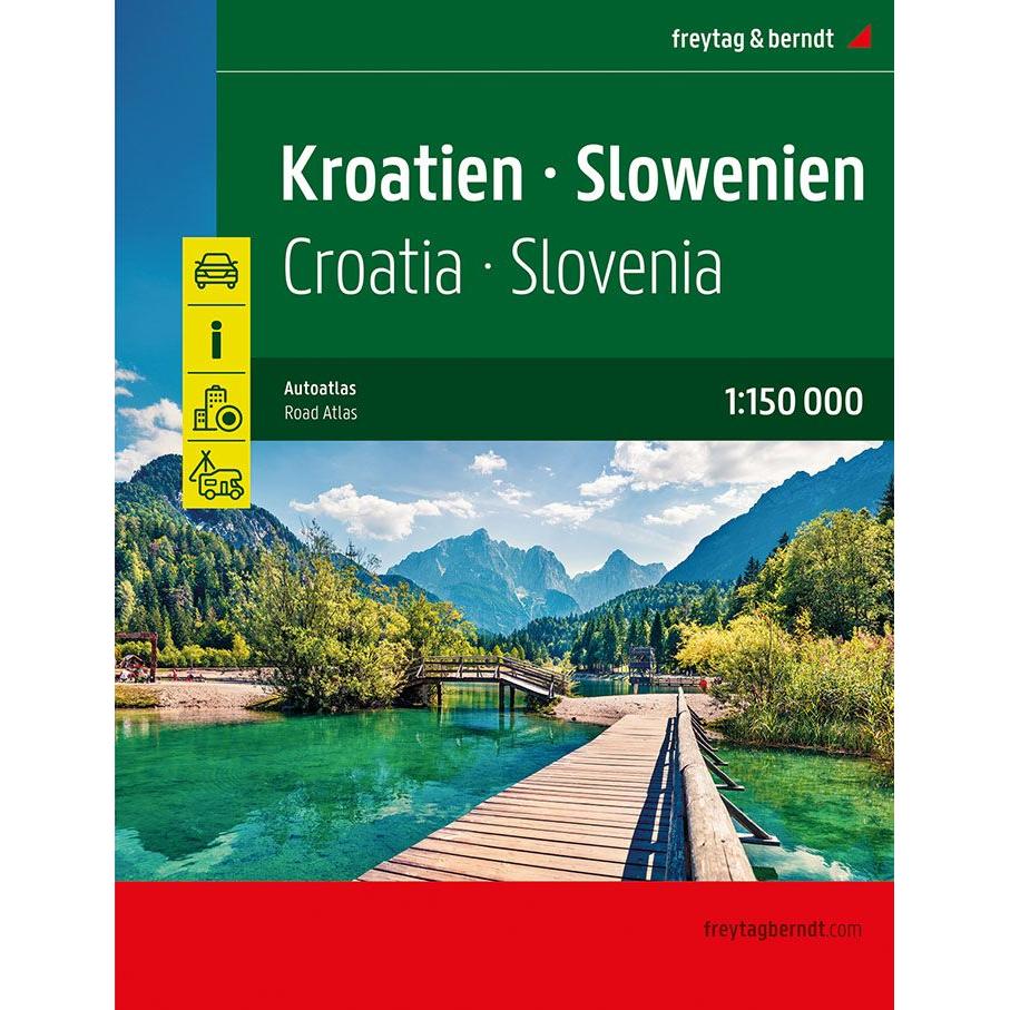
Description
This large car atlas covers Croatia and Slovenia in detail and is designed for travelers who want a more comprehensive overview than traditional road maps provide. Suitable for both thorough pre-trip planning and on-the-go use, the atlas provides reliable orientation for car, motorcycle and motorhome travel in the region.
Map coverage encompasses the whole of Croatia and Slovenia, including coastal areas along the Adriatic Sea, inland regions and connections between cities and towns. The map image is detailed and easy to read, with clear representation of road networks, towns and important connections. Minor roads are included, making it possible to plan routes off the main road network and explore more of the landscape.
The atlas has a practical spiral binding that makes it easy to open and keep the desired page open during use. A comprehensive place index with postcodes provides quick access to destinations, and camping and motorhome sites are clearly marked. In addition, the atlas contains city maps that make it easier to find your way around major cities in the region.
Release year: 2026.