Description
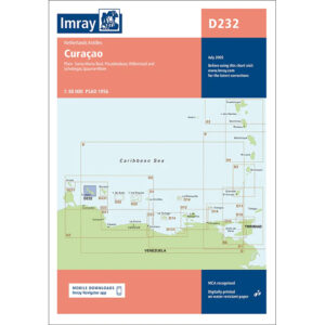
This boating chart covers the island of Curaçao in the southern Caribbean and is designed for recreational boating and sailboat navigation along the coast and in nearby waters. The chart provides a comprehensive overview of the coastline, the waters around the island and important approaches, and is well suited for sailing, anchoring and route planning in the area.
Often used as an overview chart in combination with more detailed harbor and coastal charts, it provides a good basis for safe navigation around Curaçao. It provides a clear picture of distances, open sea areas and strategic route choices when calling and sailing along the coast.
Imray is a renowned British chart manufacturer with extensive experience in nautical charts and publications for leisure boats. Their charts are designed with practical on-board use in mind, combining clear cartography with reliable nautical information.