Description
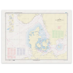
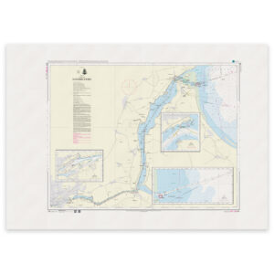
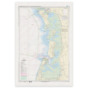
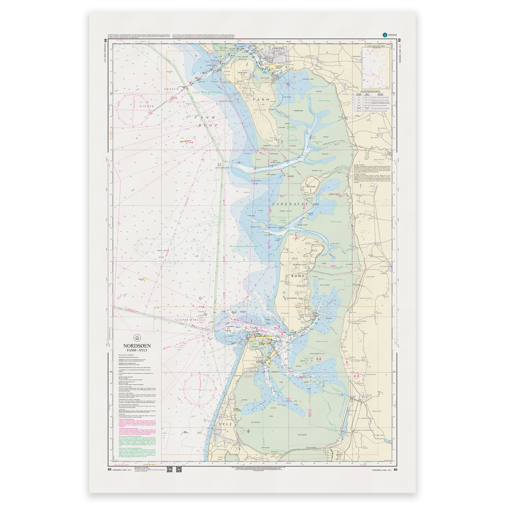
Denmark Chart 60 – North Sea, Fanø – Sylt is an official Danish nautical chart published by Geodatastyrelsen at a scale of 1:75 000.
The map covers the North Sea between Fanø and Sylt and includes a tidally influenced and dynamic coastal area with sandbanks, shallow areas and changing depth conditions.
This is a port of call and passage chart, developed for navigation in main waters and coastal passages. The scale 1:75 000 provides a good balance between overview and detail and is particularly suitable for:
Sailing along the west coast of Jutland
Navigation between Denmark and Germany
Sailing through tidal waters
Route planning in the North Sea
The map shows depths, sandbanks, tidal currents, beacons, lighthouses and other navigation installations that are crucial for safe navigation in the area.
The west coast is known for challenging navigational conditions with shifting sandbanks and strong currents, making an up-to-date nautical chart particularly important.
The map is delivered as Print-on-Demand (POD) under license from Geodatastyrelsen. It is printed when ordered and updated to the latest available Notices to Mariners at the time of production.
You’ll receive a fresh and updated reprint based on current official map data.
The chart is produced on durable, matte 125 g paper approved for official nautical charts.
Corrections are published continuously and new updates may occur after printing. Print-on-Demand ensures that you get the most up-to-date paper edition available when ordering.