Description
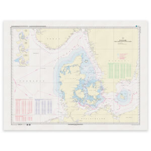
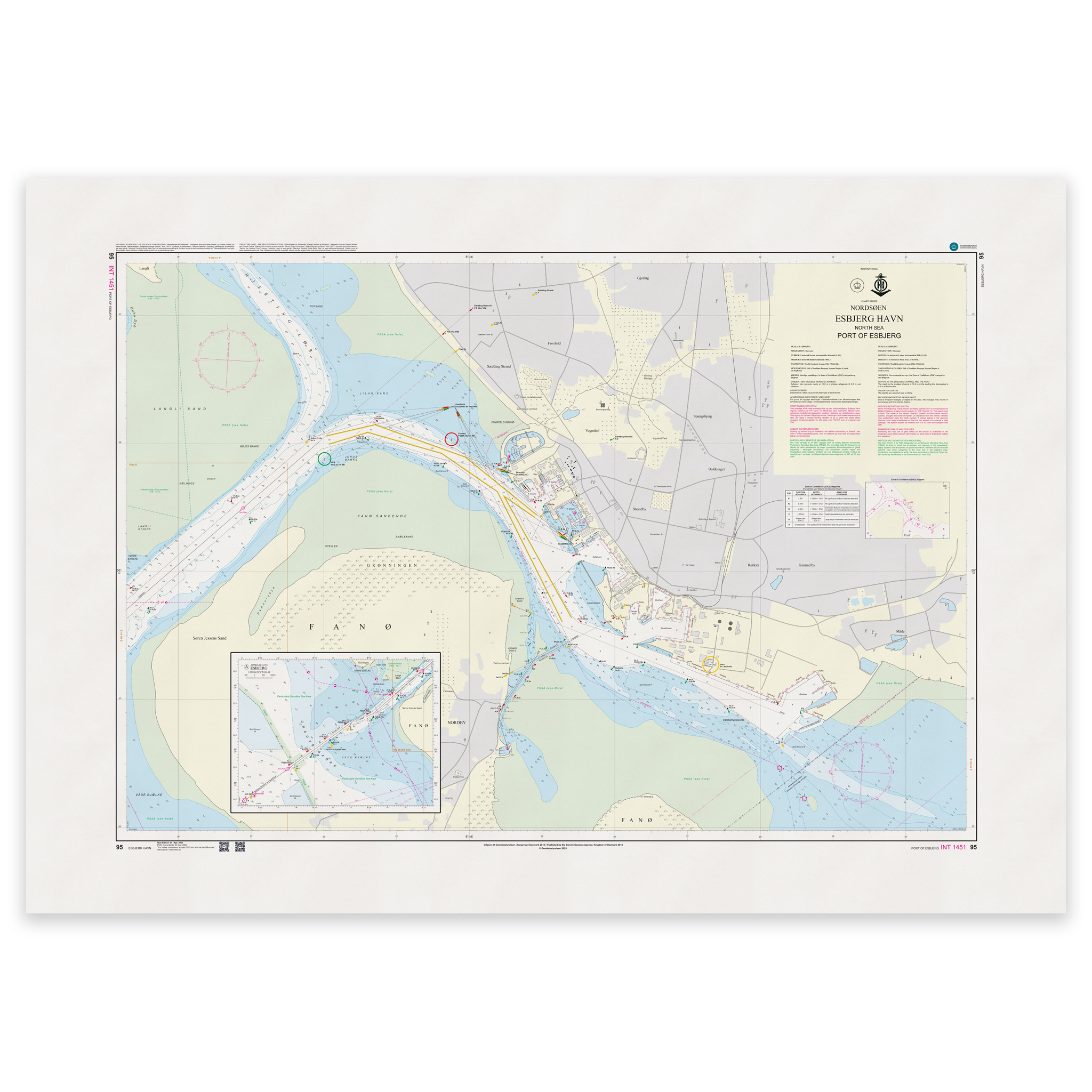
Denmark Chart 95 – Port of Esbjerg (INT 1451) is an official international nautical chart published by Geodatastyrelsen at a scale of 1:12 500.
The map covers the port area of Esbjerg – Denmark’s most important North Sea port and a central hub for offshore, energy and supply traffic.
As an INT chart (INT 1451) it follows international standards set by the International Hydrographic Organization (IHO) and can be used by seafarers across national borders.
This is a special large-scale chart, developed for precise navigation in ports and narrow channels. The 1:12,500 scale provides a high level of detail and is particularly suitable for:
Entering and leaving the port of Esbjerg
Navigation in harbor basins and quays
Maneuvering larger vessels
Offshore and supply traffic
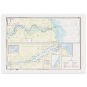
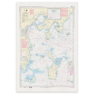
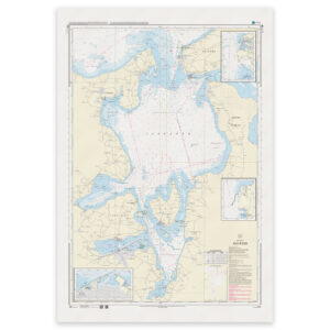
The map shows detailed depth conditions, quays, port facilities, navigation marks, lights, installations and other maritime facilities.
Esbjerg is one of Denmark’s busiest ports, especially within offshore wind and oil/gas, making an up-to-date and accurate nautical chart essential for safe navigation.
The map is delivered as Print-on-Demand (POD) under license from Geodatastyrelsen. It is printed when ordered and updated to the latest available Notices to Mariners at the time of production.
You’ll receive a fresh and updated reprint based on current official map data.
The chart is produced on durable, matte 125 g paper approved for official nautical charts.
Corrections are published continuously and new updates may occur after printing. Print-on-Demand ensures that you get the most up-to-date paper edition available when ordering.