Description
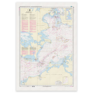
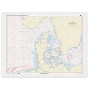
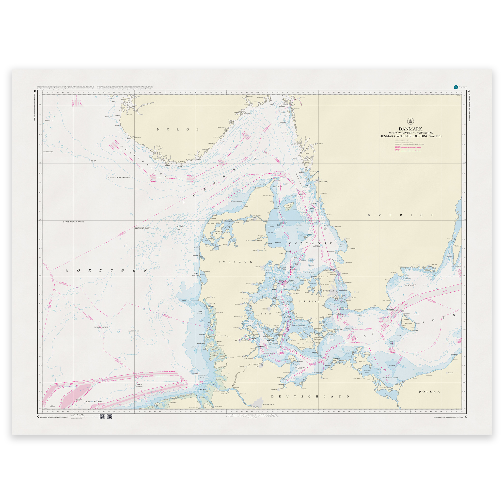
Denmark Chart C – Denmark with Surrounding Waters / Danmark med omgivende farvande is an official Danish nautical chart published by Geodatastyrelsen at a scale of 1:850 000.
The map covers all of Denmark and its waters, including the North Sea, Skagerrak, Kattegat, Baltic Sea and the waters around the Faroe Islands and Greenland where relevant in overview format.
With a scale of 1:850,000, this is a national overview and planning map, developed for overall route planning and geographical overview. The map is particularly suitable for:
Long distance planning around Denmark
Overview of main waters and transit routes
Teaching and training
Strategic maritime planning
The map shows main routes, traffic separation zones, major lighthouses, important navigation installations and overall depth conditions.
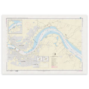
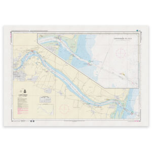
This is not a detailed navigation map for coastal traffic, but an overview map that provides a comprehensive understanding of Danish waters and their context.
The map is delivered as Print-on-Demand (POD) under license from Geodatastyrelsen. It is printed when ordered and updated to the latest available Notices to Mariners at the time of production.
You’ll receive a fresh and updated reprint based on current official map data.
The chart is produced on durable, matte 125 g paper approved for official nautical charts.
Corrections are published continuously and new updates may occur after printing. Print-on-Demand ensures that you get the most up-to-date paper edition available when ordering.