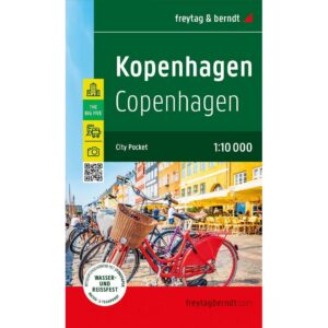
Description
This city map covers the central parts of Copenhagen and provides a detailed and clear presentation of the city’s street network and most important areas. The map is suitable for both planning and orientation during stays in the city, and is adapted for use on foot.
The map shows a detailed street network with a clear structure, making it easy to find your way between sights, districts and important hubs. In addition, key attractions and places of interest are highlighted, providing great support for planning experiences in the city. The map also includes recommendations for culture, dining and shopping, providing extra inspiration for your stay.
The map is designed in a handy format that makes it easy to take with you, and is printed on durable, waterproof and tear-resistant material that can withstand active use in urban environments. The clear cartography provides a high level of detail and good legibility, making the map suitable both before and during the visit.
Release year: 2024.