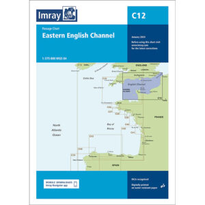
Description
This overview map covers the eastern part of the English Channel and provides an overview of the sailing areas between the south coast of England and the north coast of France. The map is designed as a passage map and provides a good overview of open sea areas, main routes and geographical connections in one of Europe’s busiest waters.
The chart is particularly suitable for long-distance sailing and planning crossings in the English Channel, including between England, France, Belgium and the Netherlands. It is typically used in combination with more detailed coastal and harbor charts for departure and arrival areas, and provides a solid basis for strategic route selection over large areas of sea.
Imray is a recognized British chart manufacturer with extensive experience in nautical cartography for leisure and long-distance sailing. Their passage charts are developed with a focus on high readability and clear overview when navigating open and heavily trafficked waters.