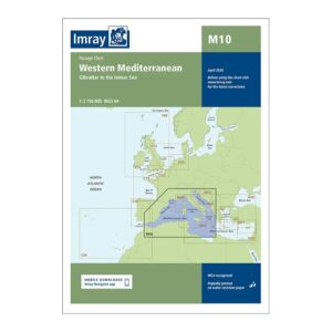
Description
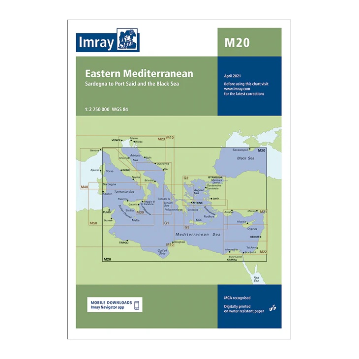
This passage chart from Imray covers a very large sailing area in the Eastern Mediterranean, stretching from Sardinia in the west to Port Said in the east, with connections to the Black Sea. The map provides a comprehensive regional overview of the main routes between Southern Europe, North Africa and the Eastern Mediterranean.
Developed for long passages and overall route planning, the chart clearly shows the connection between the different Imray charts in the Mediterranean. It serves as an ideal complement to more detailed coastal and harbor charts for sailors planning longer voyages or crossings between regions.
Printed on water-resistant paper and produced to MCA-approved standards, with support for digital updates via the Imray Navigator app.