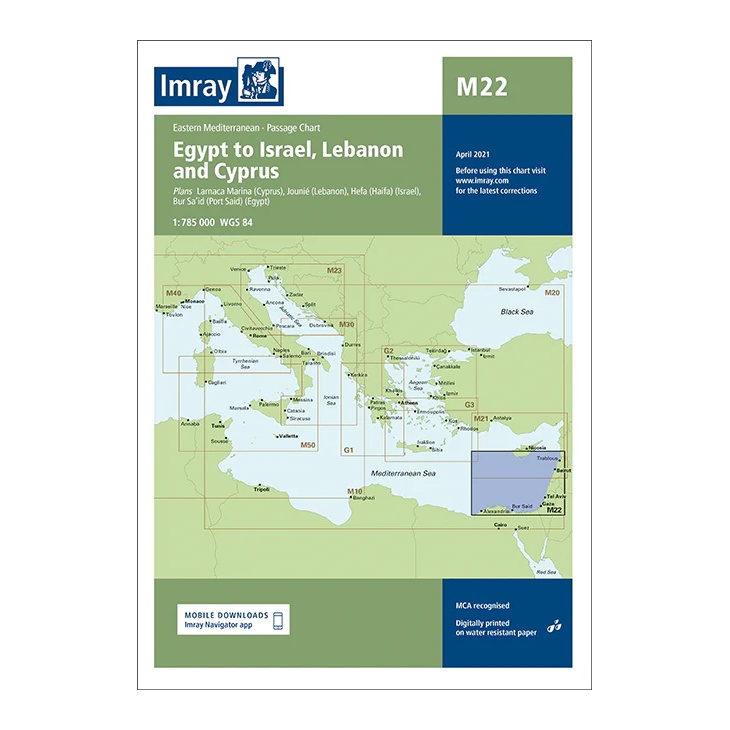
Description
This passage chart from Imray covers the Eastern Mediterranean, with sailing areas from Egypt via Israel and Lebanon to Cyprus. The map includes plan views and approaches to key ports such as Alexandria, Port Said, Haifa, Beirut, Larnaca and Limassol, as well as the main routes between these areas.
Designed for long-distance cruising and route planning, the chart provides a clear regional overview for sailors traveling between North Africa and the Levant or planning voyages further west or north in the Mediterranean. It serves as an ideal complement to more detailed coastal and harbor charts.
Printed on water-resistant paper and produced to MCA-approved standards, with support for digital updates via the Imray Navigator app.