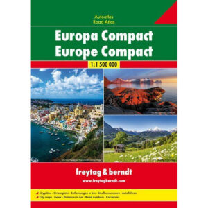
Description
This compact car atlas of Europe from freytag & berndt is designed for travelers who want a clear and practical atlas in a handy format, without sacrificing map quality or level of detail. The atlas covers the whole of Europe at a scale of 1:1,500,000 and is suitable for both planning and use on longer journeys.
The map image is clear and easy to read, with main and side roads, road numbers, distances in kilometers and marked car ferries. In addition, the atlas contains a comprehensive place index that makes it easy to find both major cities and smaller towns.
The atlas includes 34 city maps of key European cities, including Berlin, Helsinki, London, Madrid, Prague, Rome, Zagreb and Vienna. This makes the atlas particularly useful when arriving in major urban areas.
The car atlas is multilingual and adapted for international use.
The atlas was published in 2017 by freytag & berndt.