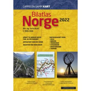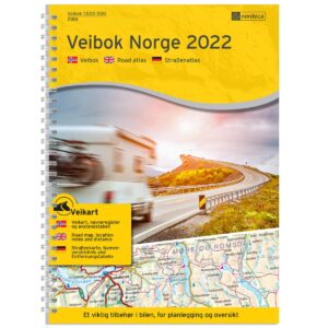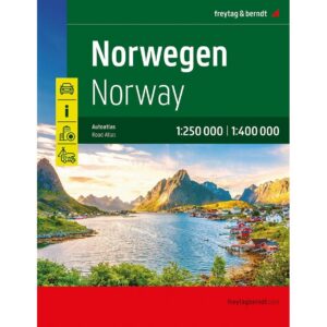
Description
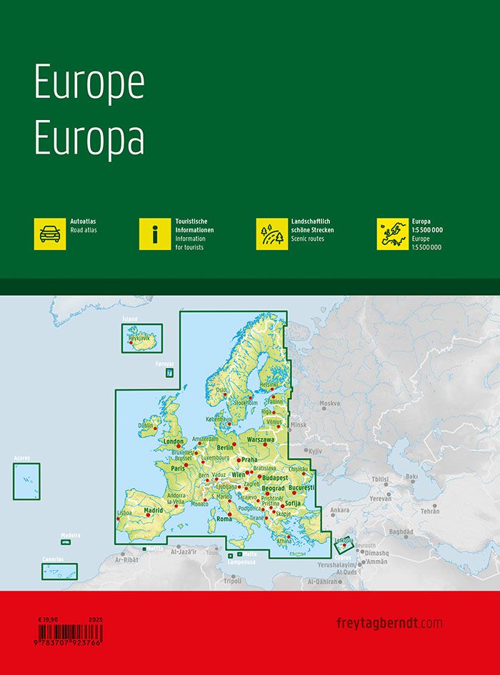
This is a comprehensive and user-friendly car atlas for Europe, designed for travelers who travel by car, motorcycle or motorhome across national borders. The atlas provides a good balance between overview and detail, and is particularly suitable for both planning longer journeys and practical navigation along the way.
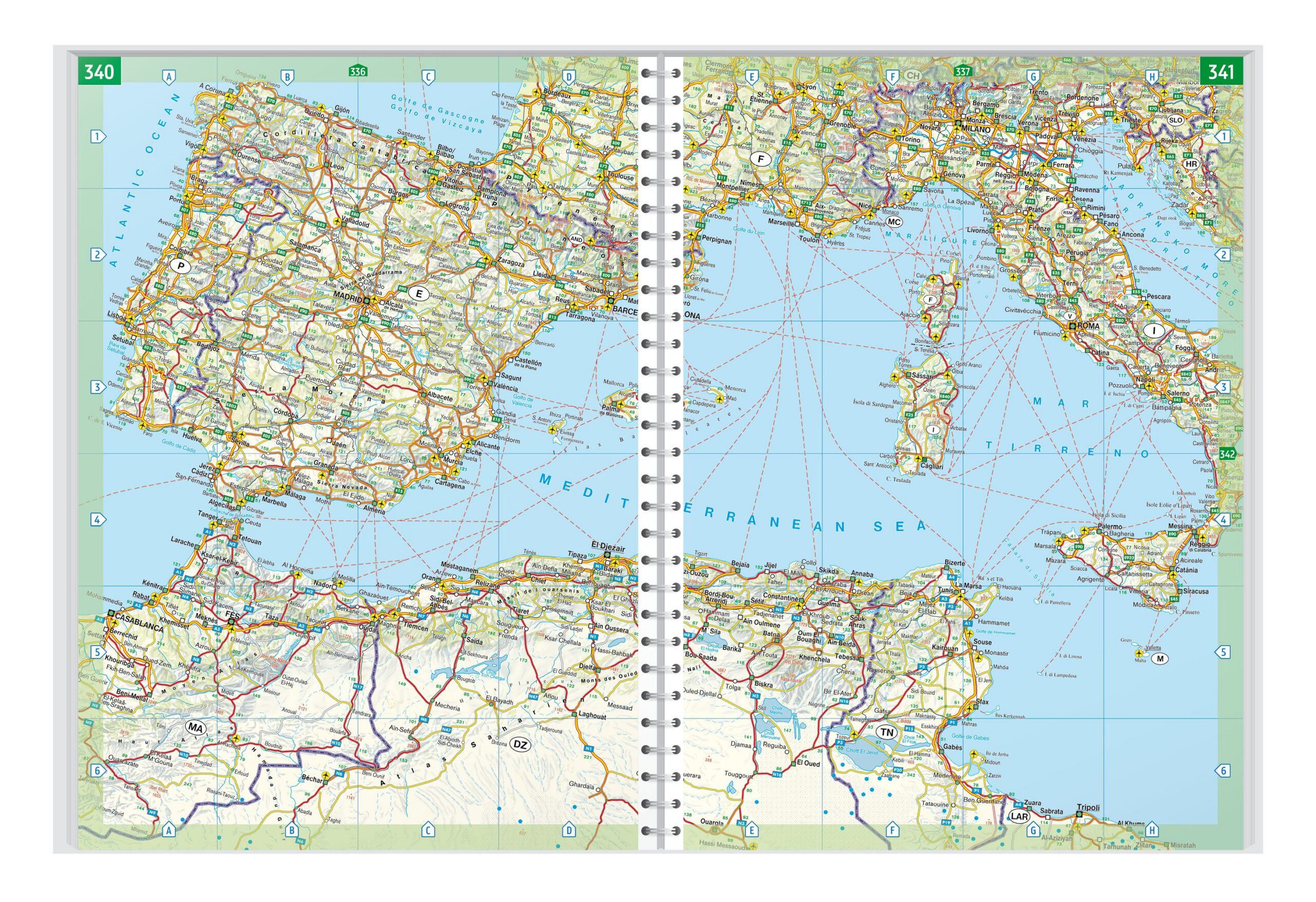
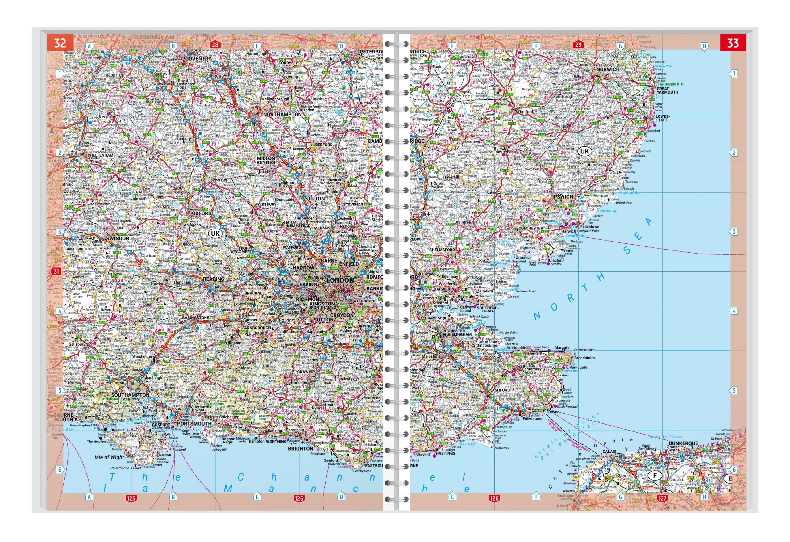
The map image is clear and easy to read, with a precise representation of the European road network. Main roads, important connections and landscape features are clearly marked, and scenic routes are highlighted on the map. Tourist information and points of interest are also included, making the atlas suitable for trips where experiences along the route are an important part of the trip.
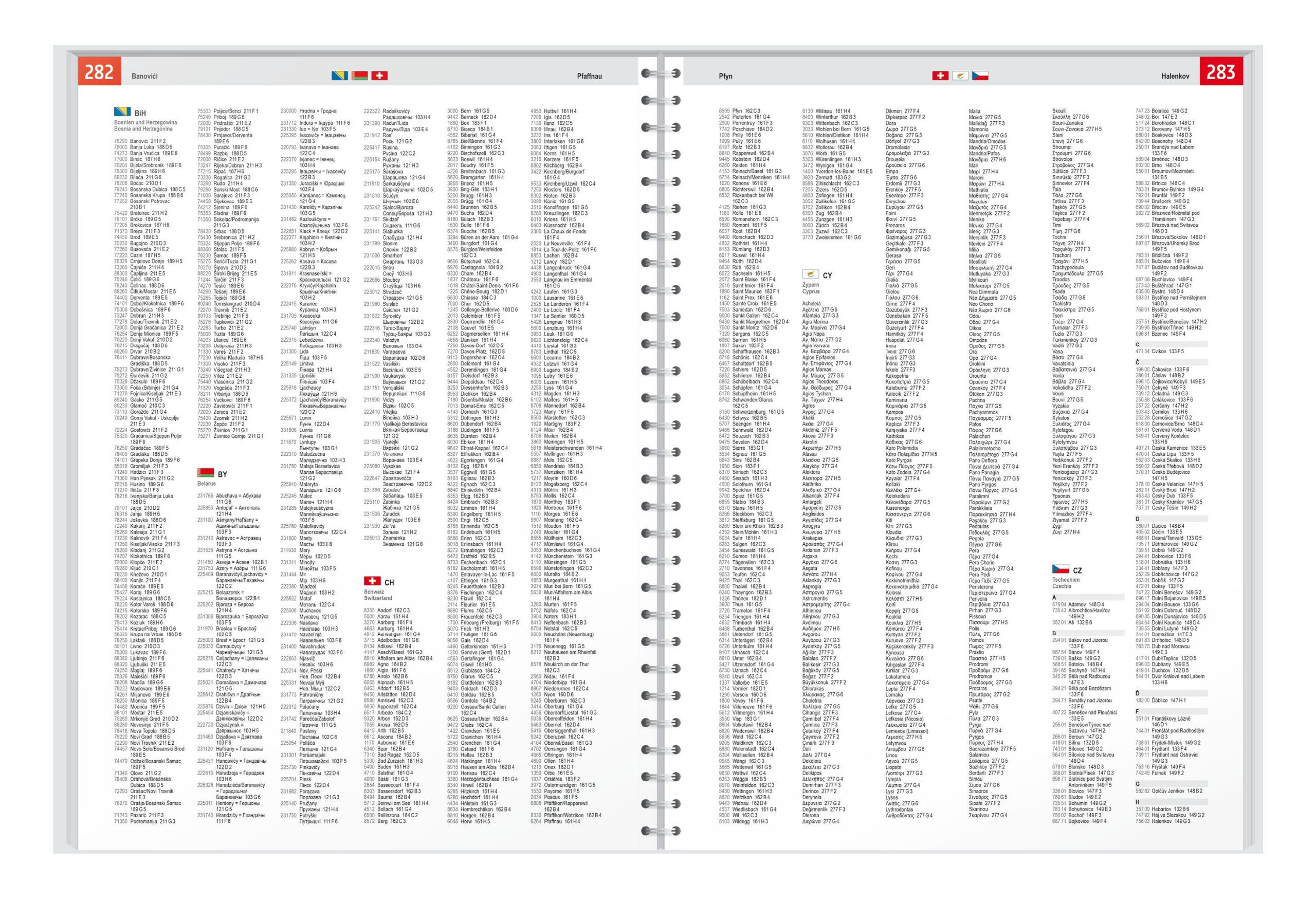
The atlas contains a comprehensive place index with postcodes, which makes it easy to find specific places. For motorhome and camping travelers, camping and motorhome sites are clearly marked directly on the maps. A separate overview map of the whole of Europe on a smaller scale provides quick orientation and support for rough route planning.
The hidden spiral binding makes the atlas easy to use in practice, as the pages can be laid flat during driving and planning. The atlas is printed in Austria and is of high cartographic and technical quality.
The Atlas is released in 2025.