
Description
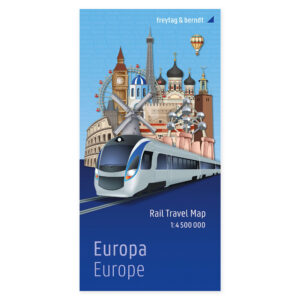
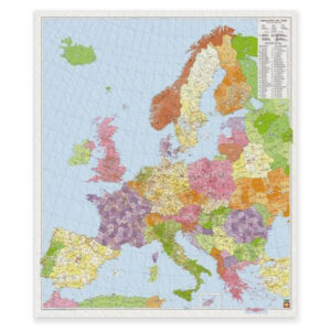
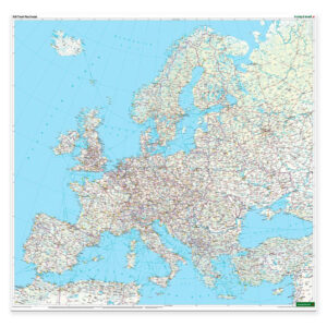
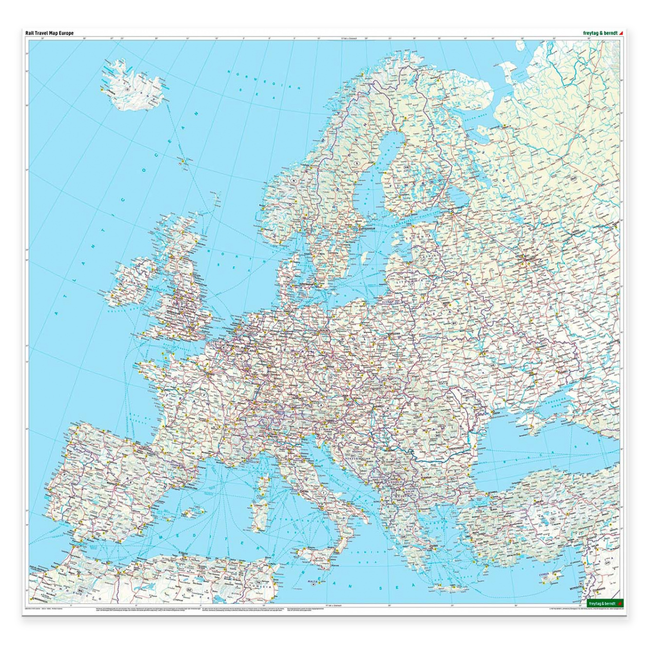
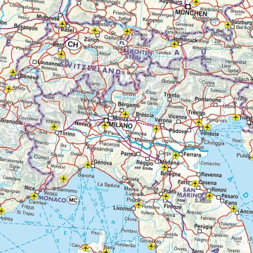
This rail map covers a very large geographical area and provides a comprehensive overview of the rail network in Europe and adjacent regions. Stretching from the North Cape in the north to the Red Sea in the south, and from the Atlantic coast in the west to Central Asia in the east, the map is designed for travelers who want to plan long and continuous train journeys across borders.
The map shows main lines, high-speed lines and regional railways, and provides a comprehensive picture of how the rail network is connected in Europe. Ferry routes are clearly marked, making it possible to plan combined travel by train and ferry where necessary. The cartography is clear and well-suited to both overall planning and understanding connections between different regions.
On the back of the map is a separate map section of Central Europe at a larger scale, providing a more detailed overview of one of Europe’s busiest railway areas. The map comes in large format and is printed on both sides, making it suitable for practical use, collection and as a gift for train enthusiasts.
The product is released in 2025.