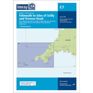
Description
This boating chart covers the stretch from Falmouth to the Isles of Scilly and further north to Trevose Head along the southwest coast of England. The chart has been developed for recreational boating and sailboat navigation in an area that combines open sea sailing, exposed stretches of coastline and several important approaches and harbors.
The chart provides an overview of coastlines, archipelagos and surrounding seas, and is well suited for route planning and overview navigation for both coastal sailing and passengers to and from the Isles of Scilly. It is often used in combination with more detailed harbor and local charts for safe navigation in an area known for weather and tidal challenges.
Imray is a renowned British chart manufacturer with extensive experience in nautical charts and publications for leisure boats. Their charts are designed with practical on-board use in mind, combining clear cartography with reliable nautical information for sailors and powerboaters.