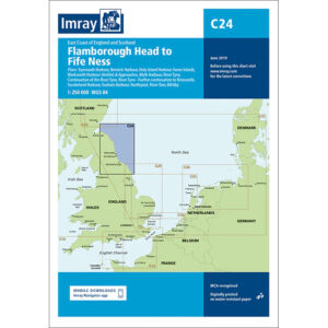
Description
This boating map covers the east coast of England and the south-east coast of Scotland from Flamborough Head in Yorkshire to Fife Ness north of the Firth of Forth. The map includes detailed plans and approaches to a number of key ports and coastal areas including Bridlington, Whitby, River Tees, Hartlepool, Sunderland, River Tyne, Blyth, River Tweed, Eyemouth, as well as approaches to the Firth of Forth.
The chart is well suited for leisure boats and sailboats traveling along this long and partly weather-exposed stretch of coastline in the North Sea, either as part of coastal sailing or when planning longer legs between England and Scotland. The area is characterized by open seas, significant commercial traffic and demanding weather conditions, and the map provides a solid foundation for safe navigation and route planning.
Imray is a recognized British chart manufacturer with extensive experience in nautical cartography for leisure and long-distance sailing. Their charts are developed with a focus on high readability, practical use and clear presentation of navigation-relevant information.