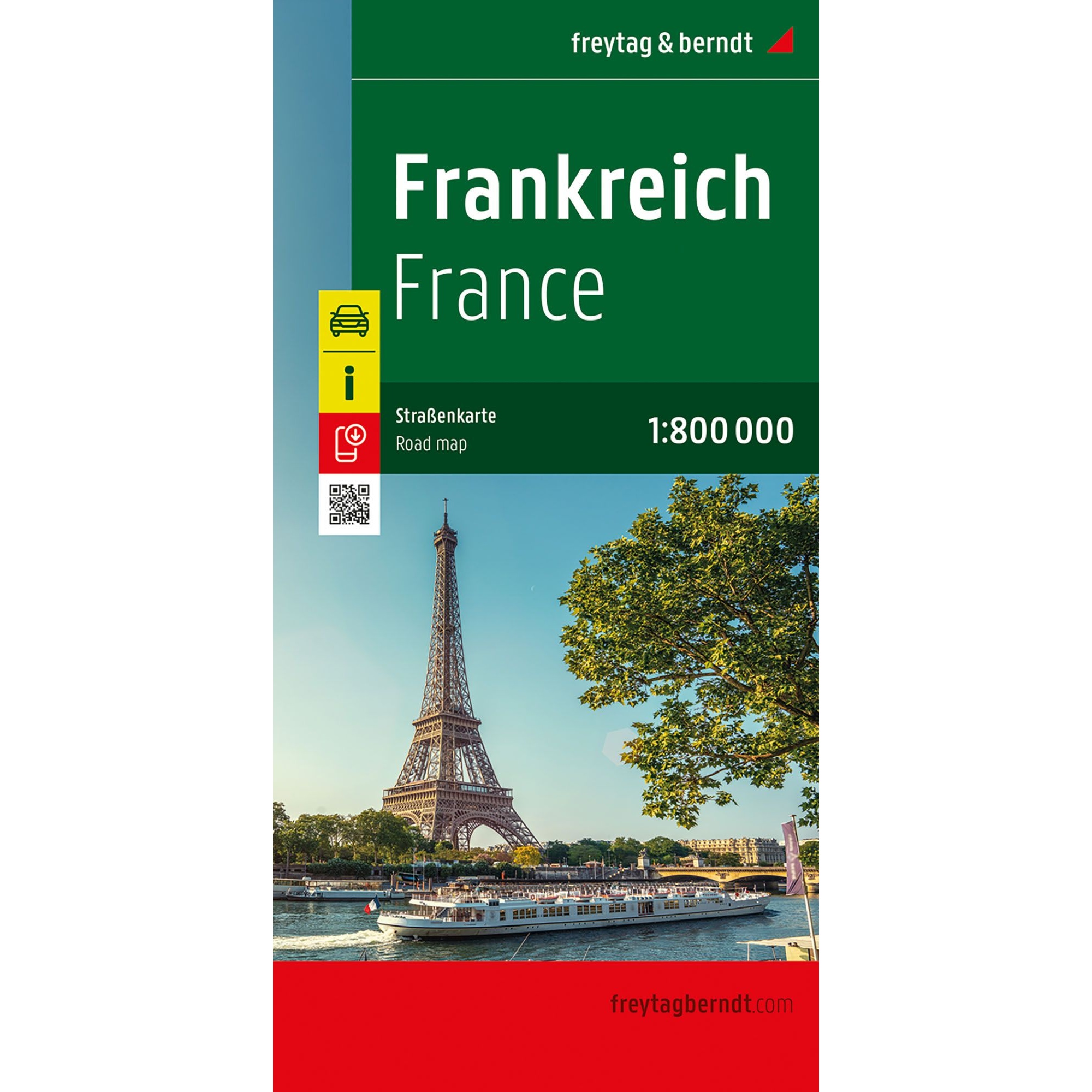
Description
This is a clear and detailed road map of France, designed for travelers by car, motorcycle or motorhome. The map provides a comprehensive view of the entire country and is particularly suitable for both route planning before the trip and practical orientation along the way.
The map image is clear and easy to read, with precise representation of the French road network. Main roads, regional connections and important cities are clearly marked, and distances and selected excursion destinations are plotted on the map. Tourist information and campsites are marked directly on the map image, making the map well suited for holiday travel and longer stays.
The map is delivered in a large, double-sided format and provides a good balance between overview and level of detail. A digital place index with postcodes provides quick access to cities and places and can easily be opened via QR code. The map is printed in Austria and is of high cartographic quality, suitable for active travel.
The map is released in 2025.