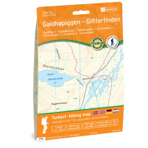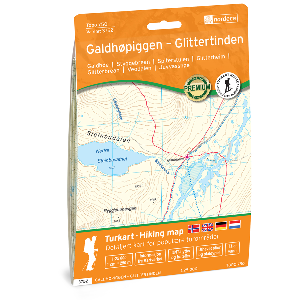
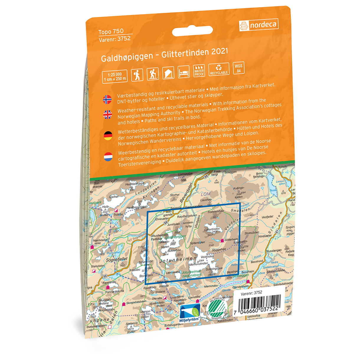
Description
This map of Galdhøpiggen – Glittertinden Topo 750 Turkart is produced by Nordic Maps (formerly Nordeca) for practical use in travel and planning.
Both series contain map data from the Swedish Mapping Authority and are printed on durable and water-resistant plastic fiber. The map is printed at a scale of 1:25,000 and has maps on both sides of the map sheet.
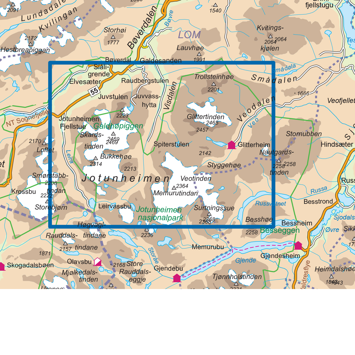
Topo 750 is a topographic map series with a high degree of detail, based on map data from the Norwegian Mapping Authority. The maps cover popular hiking areas and provide an excellent overview of the terrain, trails and details that are important when traveling in the mountains and nearby areas.
The higher scale makes the map particularly suitable for trips where precise navigation and detailed terrain understanding are important.
The map was published in 2021. Although some details may have changed since publication, the map still provides a very good and reliable basis for trip planning and navigation.
The map covers places such as Spiterstulen, Hammarstulen, Raudbergstulsætren, Visdalssætren, Slåligrende, Galdbygde, Uppigard, Runningsgrende and Neto.