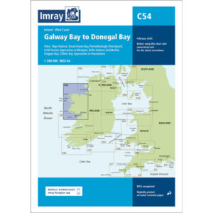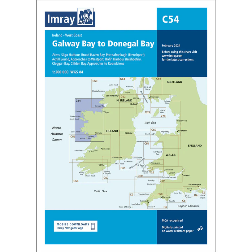
Description
Covering the west coast of Ireland from Galway Bay in the south to Donegal Bay in the north, this boating chart provides a comprehensive overview of the open Atlantic coast and adjacent waters. The chart covers long stretches of coastline, including bays, straits and important shipping lanes that are key to sailors and recreational boaters operating in the area.
Including detailed plans such as Sligo Harbour, Broad Haven Bay and Achill Sound, as well as approaches to ports and coastal areas such as Westport and Inishbofin, the Imray C54 provides useful information for both coastal navigation and long distance cruising. The specification has been enhanced with colored light flashes and updated depths where available from recent surveys.
Imray is a renowned British manufacturer of nautical charts, known for combining practical cartography with reliable and up-to-date nautical information, and is a preferred choice for leisure sailors in Europe.