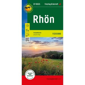
Description
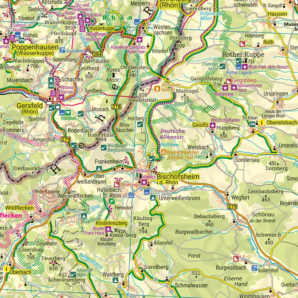
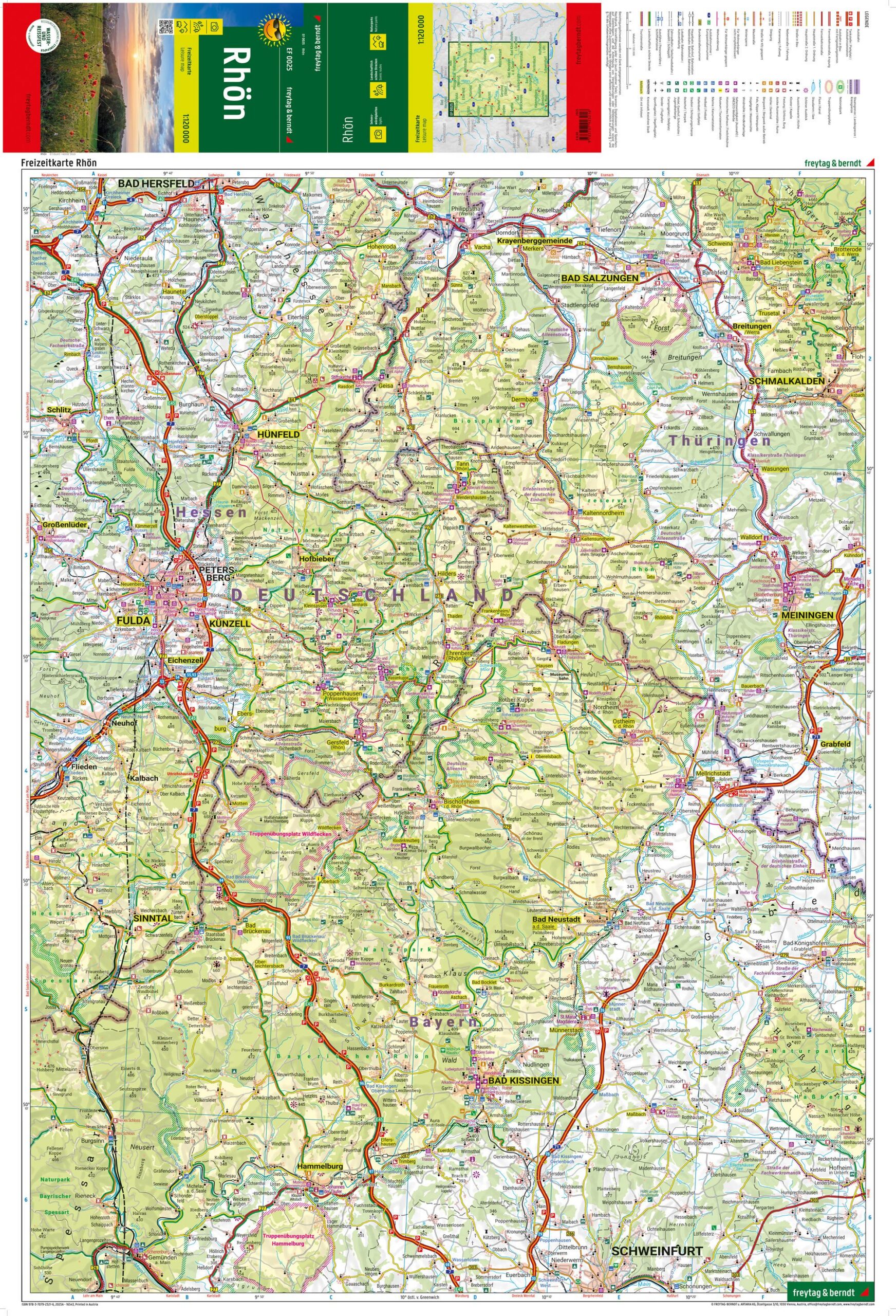
This hiking map covers the Rhön region in Germany, spanning the states of Bavaria, Hesse and Thuringia, and provides a clear presentation of landscapes, roads and excursion destinations. The map is suitable for both planning and carrying out tours and excursions in the area.
The map shows a network of roads and routes through a varied landscape of open hills, woodlands and nature parks. Tourist information and attractions are clearly marked, making it easier to plan activities and stops along the way. The map also provides an overview of nature experiences and cultural attractions, making it suitable for both short excursions and longer stays in the region.
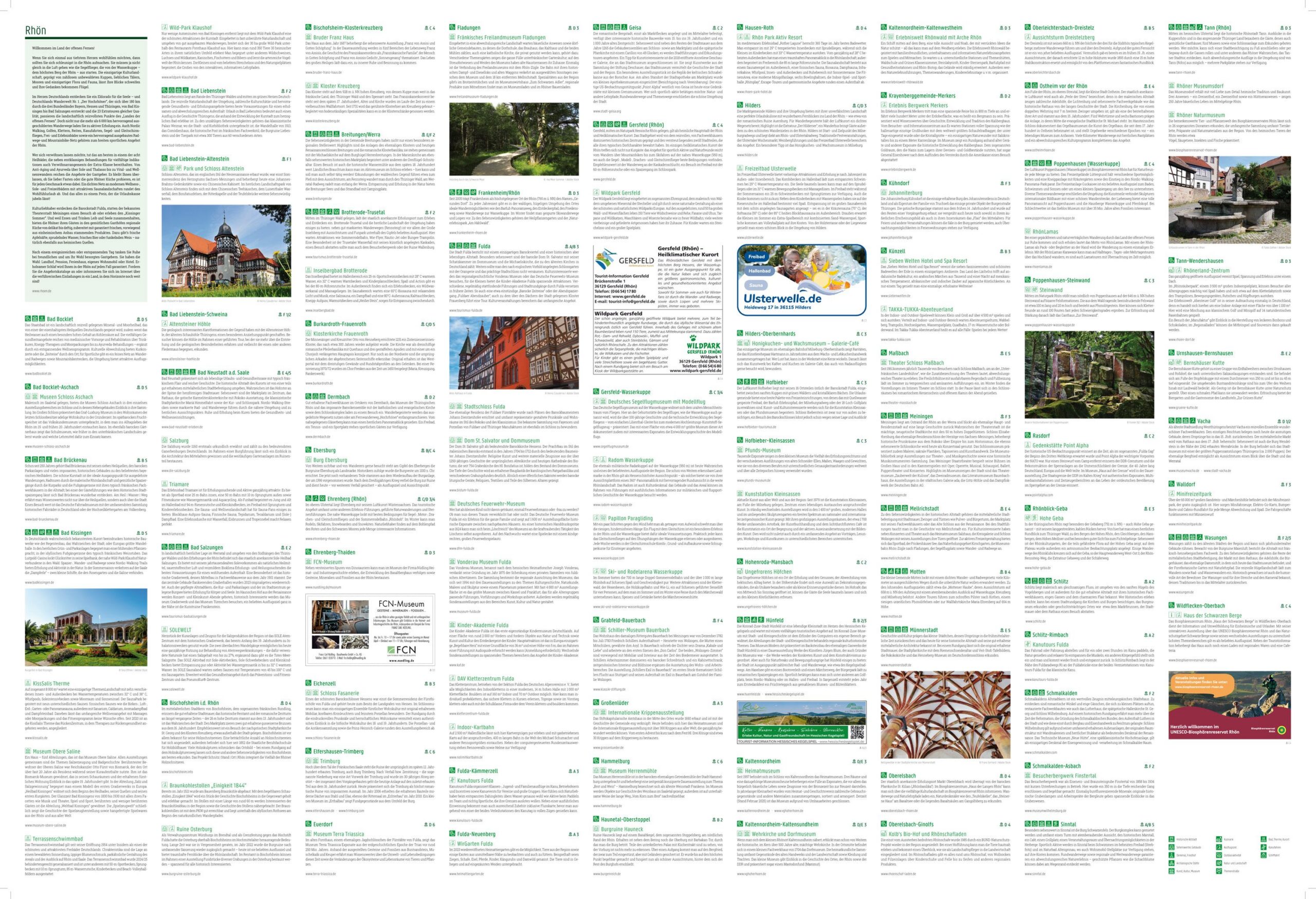
On the back of the map there is an information booklet with descriptions of important excursion destinations and experiences in the area, which provides extra support for planning. The map is printed on durable, water-resistant and tear-resistant material, making it suitable for outdoor use in varying weather conditions.
Release year: 2025.