Description
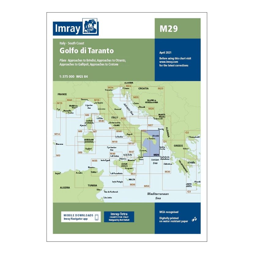
This overview map from Imray covers the Golfo di Taranto and the coastal areas along southern Italy. The map includes plan views and approaches to key ports such as Brindisi, Otranto, Gallipoli and Crotone, as well as associated sailing areas in the Ionian Sea.
Developed for passage and route planning, the map provides a good regional overview for sailors traveling along the southeastern Italian coast or crossing between the Adriatic and Ionian Seas. It serves as a useful complement to more detailed coastal and harbor charts.
Printed on water-resistant paper and produced to MCA-approved standards, with support for digital updates via the Imray Navigator app.