Description
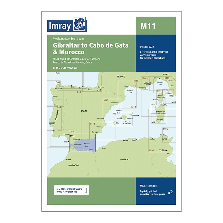
This overview chart from Imray covers the Western Mediterranean sailing area from the Strait of Gibraltar to Cabo de Gata, and also includes parts of the north coast of Morocco. The map provides a regional overview of the connection between the Atlantic and the Mediterranean, as well as coastal sailing along southern Spain and North Africa.
The map includes the Strait of Gibraltar, Gibraltar, Estepona, Puerto de Almería, Ceuta and adjacent waters along the Moroccan coast. It is designed for passage and route planning, and is particularly useful for sailors planning a crossing between the Atlantic and the Mediterranean or sailing along the Alboran Sea.
Printed on water-resistant paper and manufactured to MCA approved standards, with support for digital updates via the Imray Navigator app.