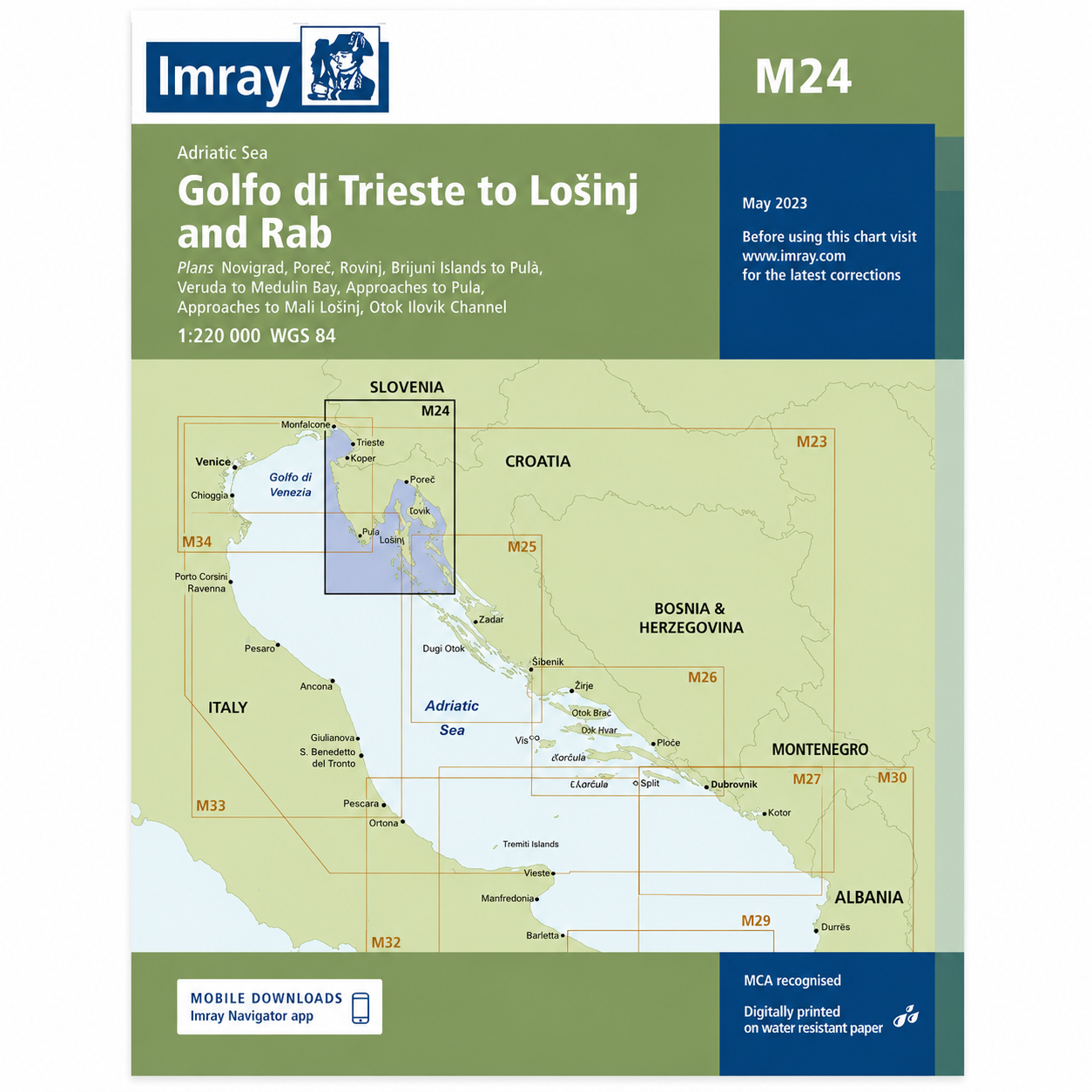
Description
This overview map from Imray covers the northern Adriatic Sea, from Golfo di Trieste in the north to the islands of Lošinj and Rab in the south. The map includes important sailing areas and approaches along the coasts of Italy, Slovenia and Croatia, as well as charts for Trieste, Koper, Pula, Rovinj, Cres, Lošinj and Rab, among others.
Designed for passage and route planning, the chart provides a good regional overview for sailors traveling in the northern Adriatic or planning longer voyages along the Istrian and Kvarner coasts. It serves as a useful complement to more detailed coastal and harbor charts.
Printed on water-resistant paper and produced to MCA-approved standards, with support for digital updates via the Imray Navigator app.