Description
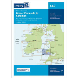
This boating chart covers the stretch from the Gower Peninsula to Cardigan along the southwest and west coasts of Wales. The chart has been developed for leisure and sailboat navigation in an area that combines open coastal sailing, exposed headlands and several key harbors and approaches.
The chart provides an overview of coastlines, bays, islands and shipping lanes, and is well suited to route planning and overview navigation for both coastal sailing and longer passages along the Welsh coast. It is often used in combination with more detailed harbor and local charts for safe navigation in an area known for tidal influence and changing weather conditions.
Imray is a renowned British chart manufacturer with extensive experience in nautical charts and publications for leisure boats. Their charts are designed with practical on-board use in mind, combining clear cartography with reliable nautical information for sailors and powerboaters.