


Description
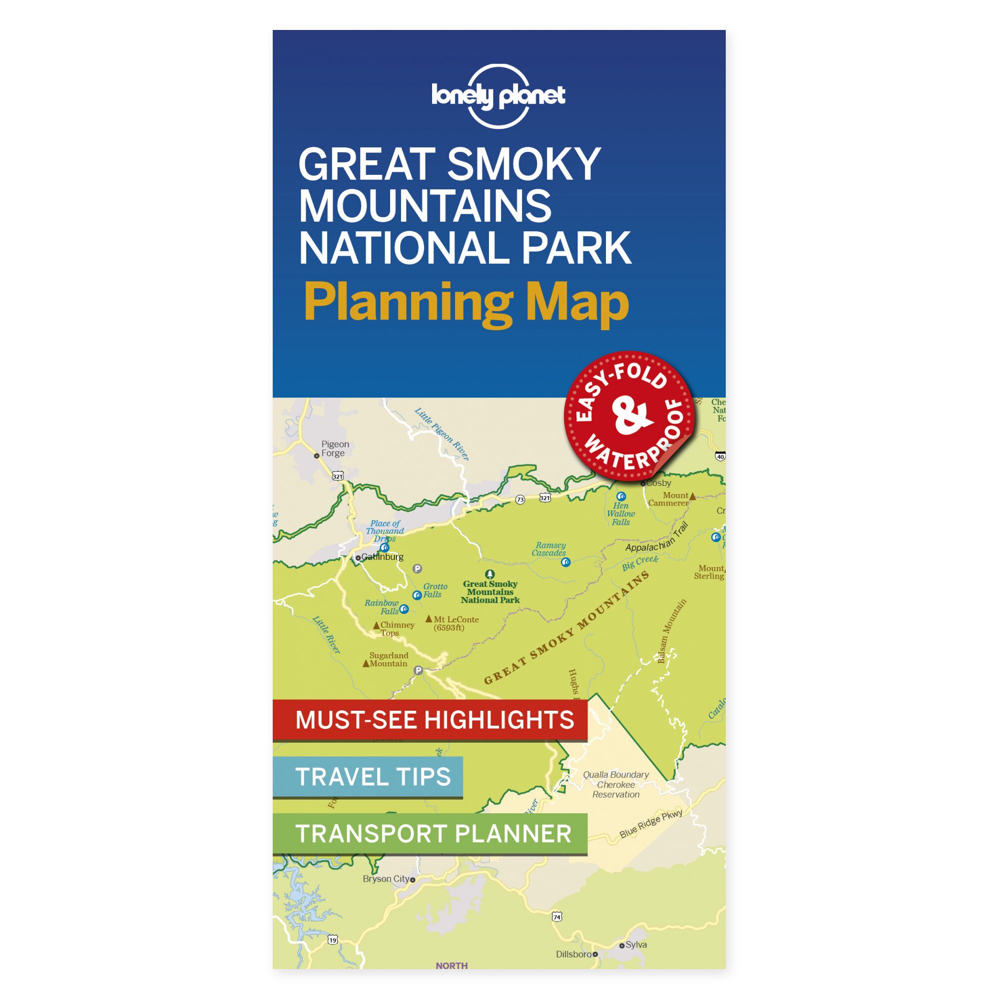
See the possibilities on the map. Give your visit to the Great Smoky Mountains a clear direction with a fold-out overview. Lonely Planet’s planning map provides a physical starting point for choosing which areas to experience and how they fit into the rest of your journey.
Plan your own trip. The front side covers the national park, Gatlinburg, Pigeon Forge, and the area toward Bryson City. The map highlights key features, travel tips, and transport planning. Use it to see the connection between various stops, and supplement with maps and information tailored to the specific hikes you wish to undertake.
Designed for portability. This folding map is water-resistant and easy to unfold. It provides a physical overview for use both before departure and during the trip, without the need for a screen. Lay the map out with your travel companions to see how the locations you wish to visit relate to one another.
Select a few main stops and use the overview to explore potential detours. The map can remain laid out while discussing the next leg of the journey, or be taken along as plans are followed during travel.
About the edition. Map with English text, published 2019. 1st edition. ISBN 9781788685955.
