Description
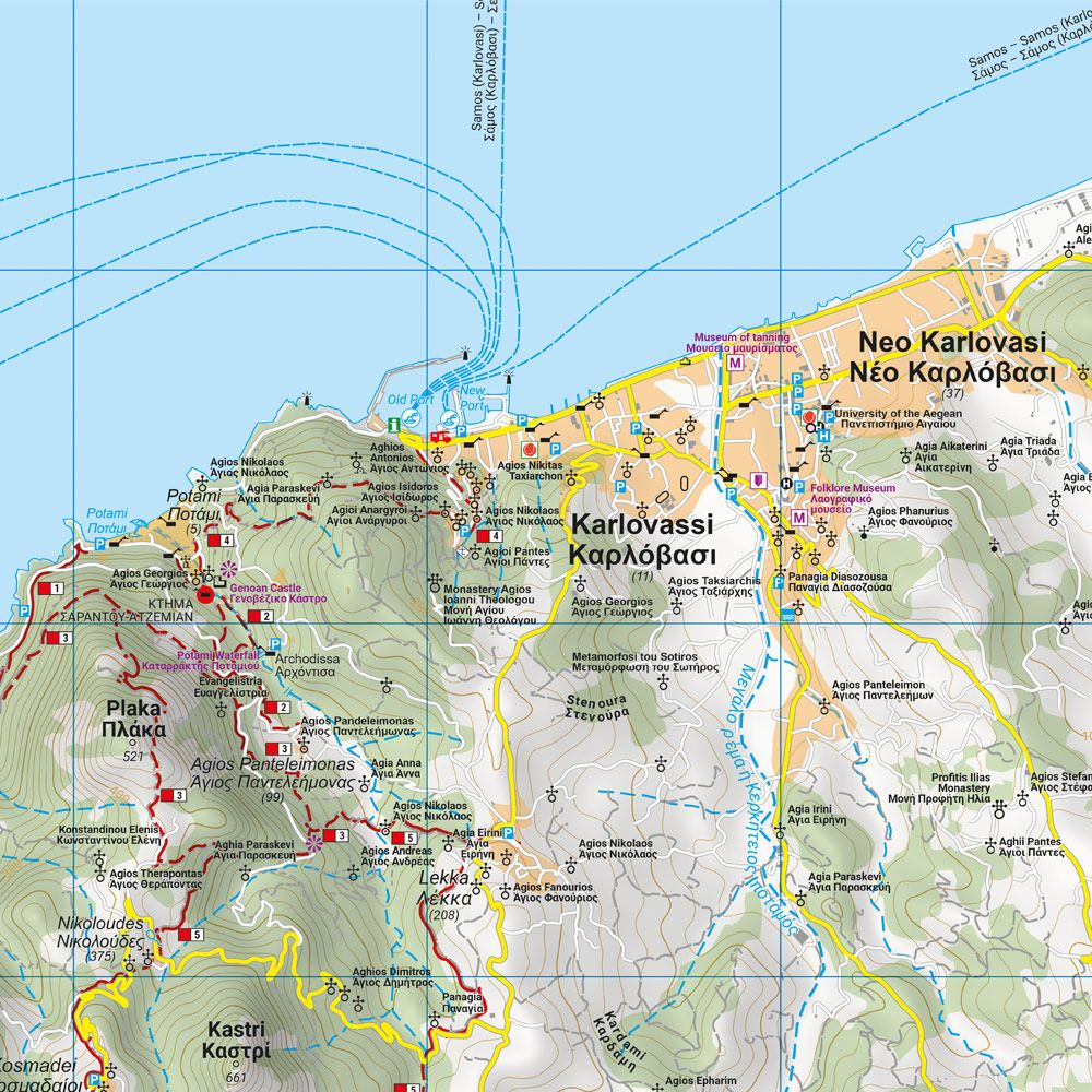
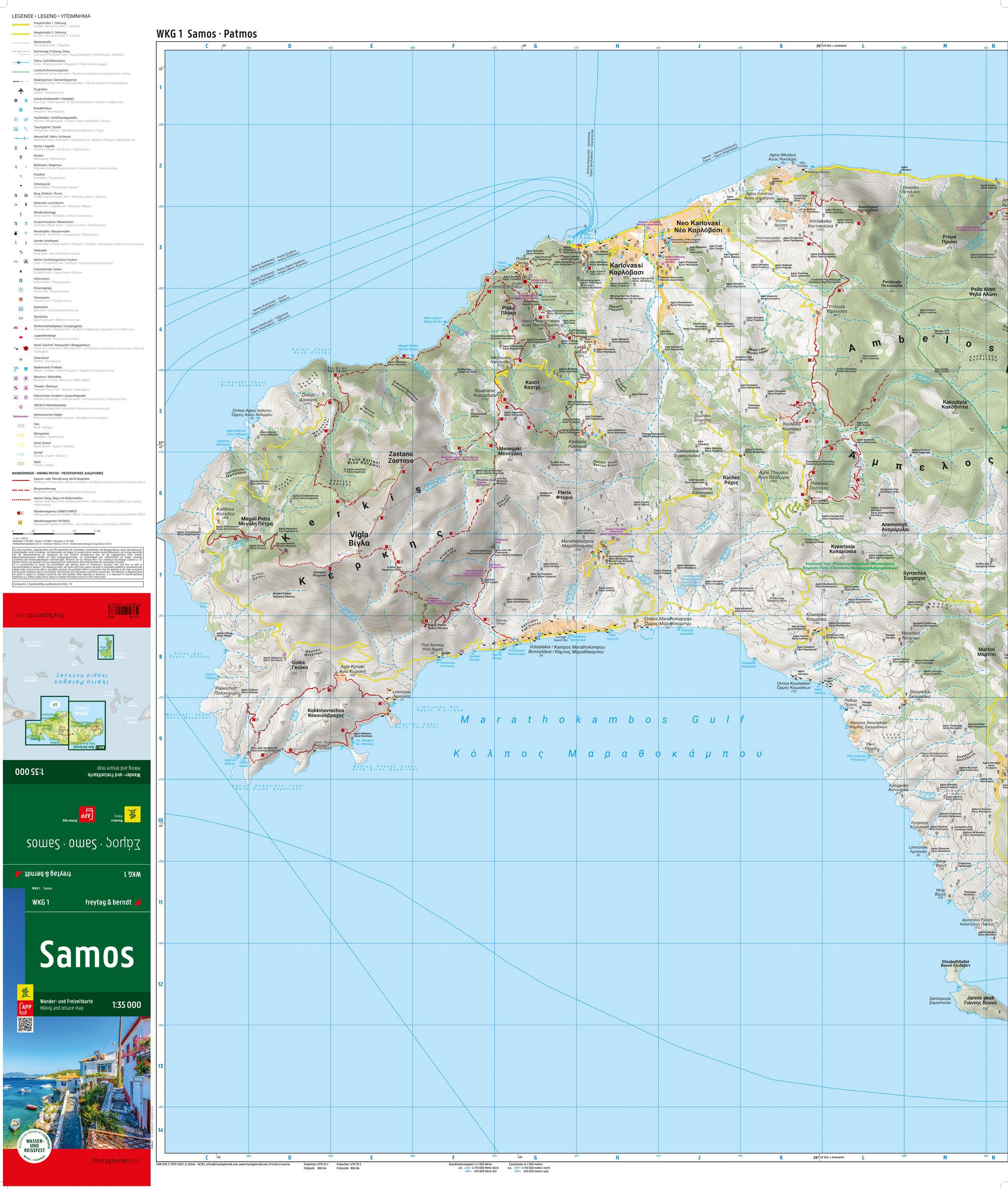
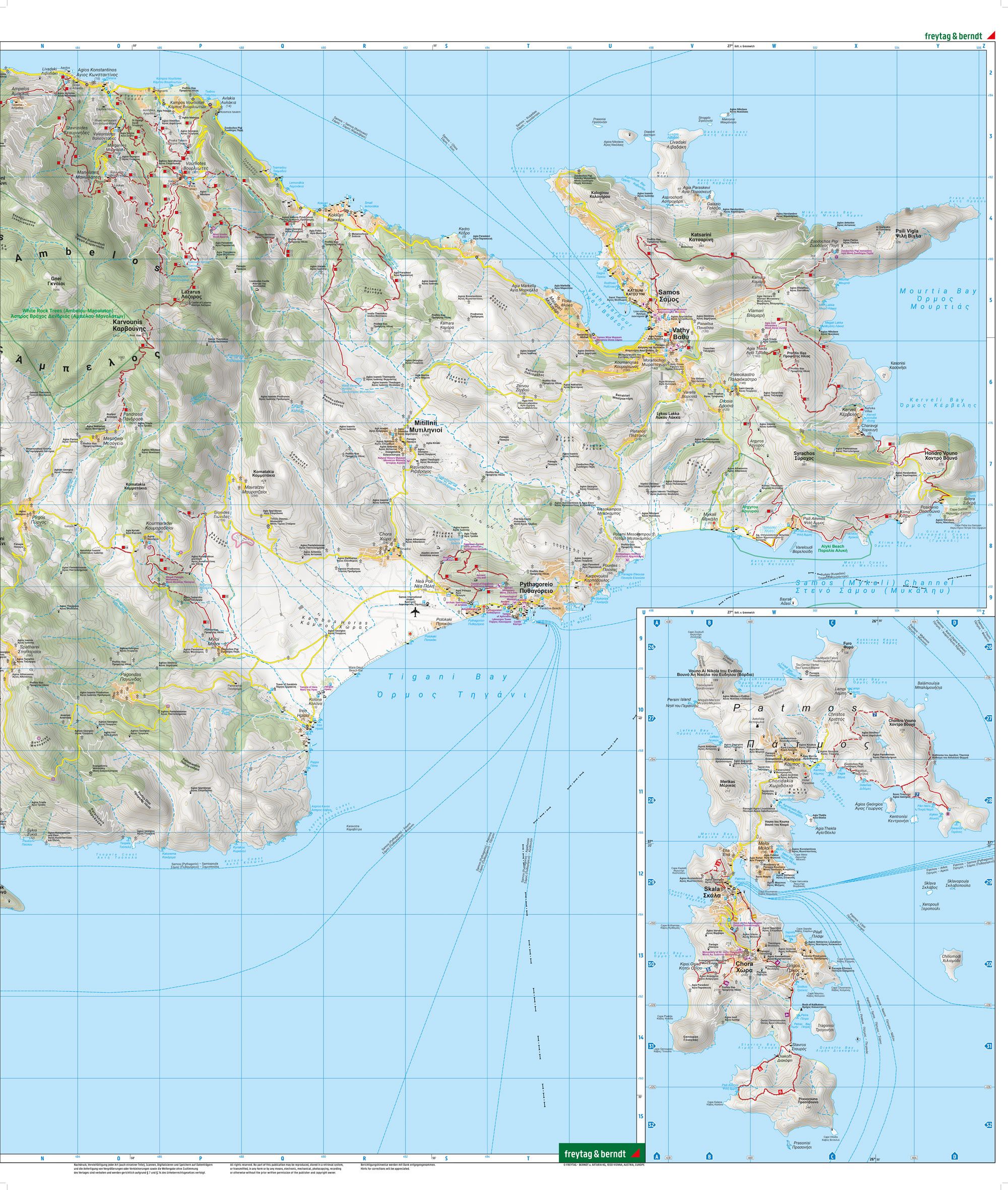
This detailed hiking map covers the Greek island of Samos and provides a thorough overview of the island’s landscape, hiking trails and nature-based experiences. The map is well suited for both planning and conducting tours, and provides a solid foundation for exploring the island on foot.
The map image shows an extensive network of marked hiking trails that run through varied terrain with mountains, valleys and coastal areas. Areas such as Mount Kerkis, deep canyons and forest areas are clearly represented, providing good opportunities for both short hikes and longer routes. Tourist information and points of interest are integrated into the map, making it easier to combine nature experiences with cultural stops such as villages, monasteries and historical sites.
The map is printed on durable, water-resistant and tear-resistant material, making it suitable for use in varying weather conditions. In addition, the map is linked to a digital solution that provides access to trip information and grids via mobile. The clear cartography provides a high level of detail and good readability in terrain with large height differences.
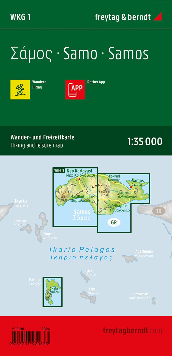
Release year: 2024.