Description
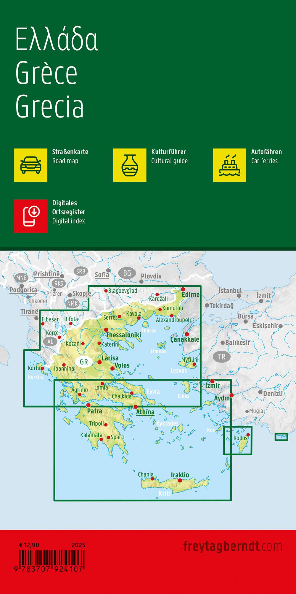
This road map covers the whole of Greece at a scale of 1:500,000 and provides a clear and precise representation of the country’s road network. The map is well suited for traveling by car, motorcycle or motorhome, and serves both as a pre-departure planning tool and as a navigation tool along the way. Main roads and important side roads are clearly marked, along with distances, cities and towns. The map also shows ferry connections between the mainland and the islands, making it particularly useful for travel within the archipelago. Tourist information and important attractions are marked on the map, and the digital location register provides quick access to information via QR code. The map is printed double-sided and provides good coverage of the entire country in one continuous map. The map is produced with high print quality and printed in Austria.