Description
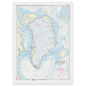
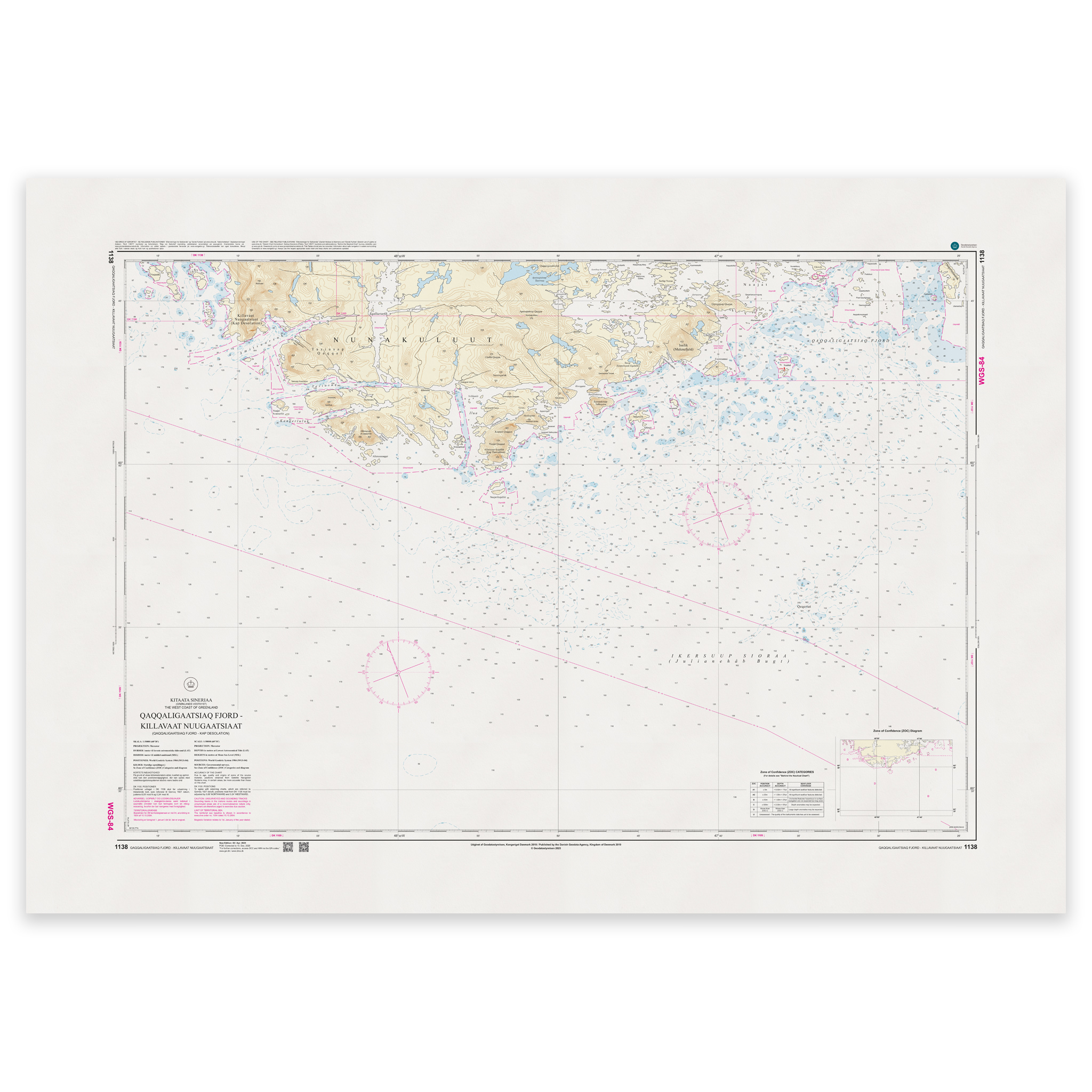
Map 1138 covers parts of Greenland and is published at a scale of 1:50,000.
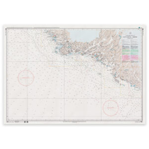
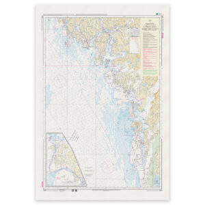
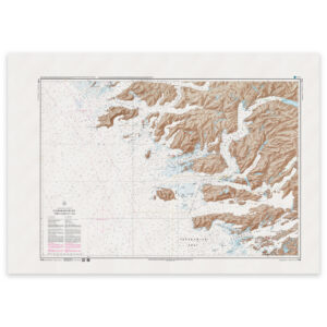
The map is printed as Print-on-Demand (POD) under license from Geodatastyrelsen. It is produced when ordered, so you get a fresh reprint updated to the latest available Notices to Mariners at the time of printing. The map is produced on durable matte paper (125g) approved by Geodatastyrelsen.
This is a navigational chart that provides detailed information for coastal navigation and harbor approaches. In areas covered by special maps, some information may be simplified.
Corrections are published on an ongoing basis, and the map may be updated after printing. With Print-on-Demand, you will still receive the most up-to-date paper edition that is practically possible at the time of ordering.