Description
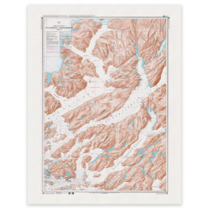
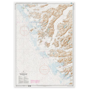
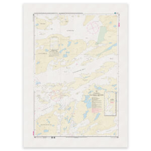
Kanguisaq. Chart 1451 from the Danish Geodata Agency (Geodatastyrelsen) brings together several harbour plans on one sheet.
Harbour plans on one sheet. Chart 1451 contains individual plans at different scales. Check the scale printed on each plan when using the chart.
Printed to order. Each copy is printed to order using Print-on-Demand (POD) on matt 125 gsm chart paper. We use the latest available chart file at the time of printing. Chart corrections may be issued after printing and should be applied to the chart used on board.